Seymour Region Suburbs & Region, Seymour Region Map & Postcodes
Seymour Region Suburbs & Region, Seymour Region Map & Postcodes in Seymour Region, Wangaratta Benalla, Hume, VIC, AU
Seymour Region Region
Region Name
Seymour Region (VIC, AU)Seymour Region Area
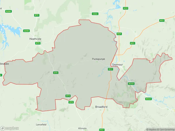
1689 square kilometers (1,689 ㎢)Seymour Region Suburb Area Map (Polygon)
Seymour Region Introduction
Seymour Region is a local government area in the Hume region of Victoria, Australia. It covers an area of 1,168 square kilometers and has a population of approximately 136,000 people. The region is named after the Seymour River, which flows through it. The region is home to a number of major towns, including Seymour, Echuca, and Nagambie. The region is known for its agriculture, with a number of wineries and farms located in the area. The region is also home to a number of national parks and reserves, including the Greater Bendigo National Park and the Strathbogie Ranges National Park.Australia State
City or Big Region
Greater Capital City
Rest of Vic. (2RVIC)District or Regional Area
Suburb Name
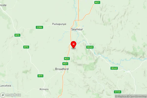
Seymour Region Region Map
Seymour Region Suburbs
Seymour Region full address
Seymour Region, Wangaratta Benalla, Hume, Victoria, VIC, Australia, SaCode: 204011060Country
Seymour Region, Wangaratta Benalla, Hume, Victoria, VIC, Australia, SaCode: 204011060
Seymour Region Suburbs & Region, Seymour Region Map & Postcodes has 0 areas or regions above, and there are 0 Seymour Region suburbs below. The sa2code for the Seymour Region region is 204011060. Its latitude and longitude coordinates are -37.1126,145.116. Seymour Region area belongs to Australia's greater capital city Rest of Vic..