Northwood Area, Northwood Postcode(3660) & Map in Northwood, Hume, VIC
Northwood Area, Northwood Postcode(3660) & Map in Northwood, Hume, VIC, AU, Postcode: 3660
Northwood, Seymour Region, Upper Goulburn Valley, Hume, Victoria, Australia, 3660
Northwood Postcode
Area Name
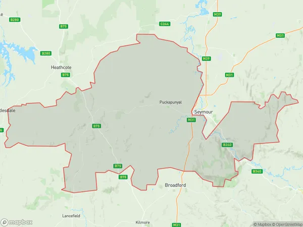
NorthwoodNorthwood Suburb Area Map (Polygon)

Northwood Introduction
Northwood is a suburb in the local government area of Hume, Victoria, Australia. It is located 16 kilometers north-east of Melbourne's central business district. Northwood was named after a timber mill that operated in the area in the 19th century. The suburb has a variety of housing styles, including apartments, units, and houses. It has a number of parks and recreational facilities, including a golf course, tennis courts, and a swimming pool. Northwood is also home to a number of schools, including Northwood Primary School and Northwood Secondary College.State Name
City or Big Region
District or Regional Area
Suburb Name
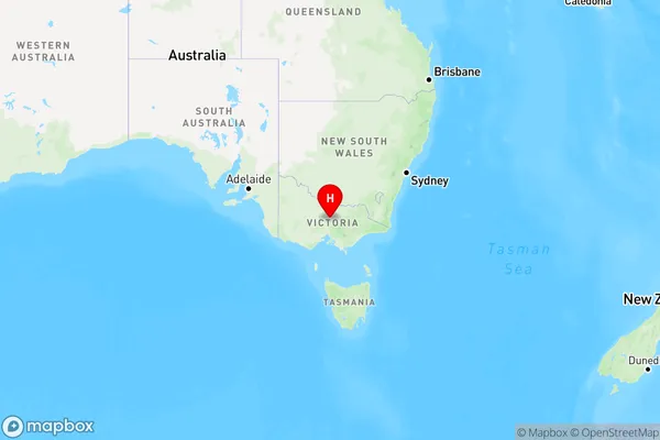
Northwood Region Map

Country
Main Region in AU
R3Coordinates
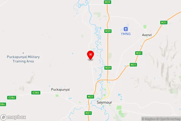
-36.9482551,145.1044805 (latitude/longitude)Northwood Area Map (Street)

Longitude
145.257867Latitude
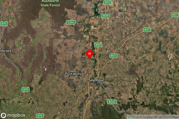
-37.035925Northwood Suburb Map (Satellite)

Distances
The distance from Northwood, Hume, VIC to AU Greater Capital CitiesSA1 Code 2011
20401106005SA1 Code 2016
20401106005SA2 Code
204011060SA3 Code
20401SA4 Code
204RA 2011
2RA 2016
2MMM 2015
4MMM 2019
4Charge Zone
V2LGA Region
MitchellLGA Code
24850Electorate
Nicholls