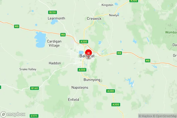
Ballarat South Suburbs & Region, Ballarat South Map & Postcodes
Ballarat South Suburbs & Region, Ballarat South Map & Postcodes in Ballarat South, Ballarat, VIC, AU
Ballarat South Region
Region Name
Ballarat South (VIC, AU)Postal Codes
3350, and 3356 (In total, there are 2 postcodes in Ballarat South.)Ballarat South Introduction
Ballarat South is a suburb of Ballarat, Victoria, Australia. It is located 4 km south of Ballarat's central business district. The suburb was named after the Ballarat South railway station, which was opened on 18 November 1889. The post office opened as Ballarat South on 1 October 1922 and was closed on 1 March 1971. The suburb has a variety of housing styles, including period homes, modern apartments, and units. There are several parks and recreational facilities in the suburb, including the Ballarat South Football Club, the Ballarat South Cricket Club, and the Ballarat South Golf Club. The suburb is also home to the Ballarat South Health Service and the Ballarat South Institute of TAFE.Australia State
City or Big Region
District or Regional Area
Suburb Name
Ballarat South Region Map

Ballarat South Postcodes / Zip Codes
Ballarat South Suburbs
Ballarat South full address
Ballarat South, Ballarat, Victoria, VIC, Australia, SaCode: 201011004Country
Ballarat South, Ballarat, Victoria, VIC, Australia, SaCode: 201011004
Ballarat South Suburbs & Region, Ballarat South Map & Postcodes has 0 areas or regions above, and there are 7 Ballarat South suburbs below. The sa2code for the Ballarat South region is 201011004. Its latitude and longitude coordinates are -37.574,143.868.
Ballarat South Suburbs & Localities
1. Canadian
2. Golden Point
3. Mount Clear
4. Mount Pleasant
5. Redan
6. Sovereign Hill
7. Sebastopol
