Sovereign Hill Area, Sovereign Hill Postcode(3350) & Map in Sovereign Hill, Ballarat, VIC
Sovereign Hill Area, Sovereign Hill Postcode(3350) & Map in Sovereign Hill, Ballarat, VIC, AU, Postcode: 3350
Sovereign Hill, Ballarat - South, Ballarat, Ballarat, Victoria, Australia, 3350
Sovereign Hill Postcode
Area Name
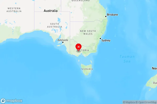
Sovereign HillSovereign Hill Suburb Area Map (Polygon)

Sovereign Hill Introduction
Sovereign Hill is a historical gold mining site in Ballarat, Victoria, Australia. It is a living museum that showcases the gold rush era and provides visitors with a glimpse into the lives of miners and their families. The site includes a working replica of a gold mine, costumed characters, and various historical buildings and artifacts. Sovereign Hill is a popular tourist destination and is often used as a setting for films, TV shows, and commercials.State Name
City or Big Region
District or Regional Area
Suburb Name
Sovereign Hill Region Map

Country
Main Region in AU
R3Coordinates
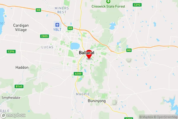
-37.5747586,143.866045 (latitude/longitude)Sovereign Hill Area Map (Street)

Longitude
143.864505Latitude
-37.571941Sovereign Hill Elevation
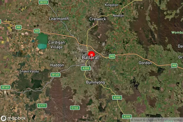
about 452.24 meters height above sea level (Altitude)Sovereign Hill Suburb Map (Satellite)

Distances
The distance from Sovereign Hill, Ballarat, VIC to AU Greater Capital CitiesSA1 Code 2011
20101100404SA1 Code 2016
20101100404SA2 Code
201011004SA3 Code
20101SA4 Code
201RA 2011
2RA 2016
2MMM 2015
2MMM 2019
2Charge Zone
V2LGA Region
BallaratLGA Code
20570Electorate
Ballarat