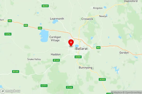
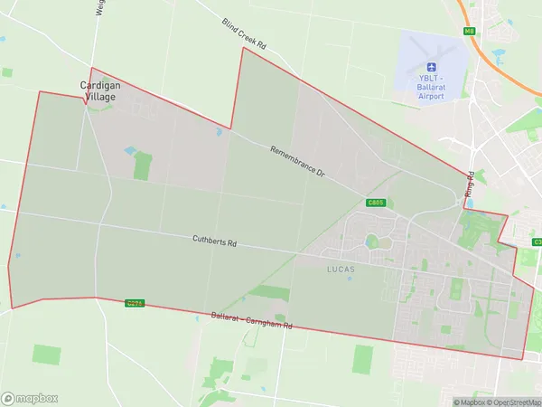
Alfredton Suburbs & Region, Alfredton Map & Postcodes
Alfredton Suburbs & Region, Alfredton Map & Postcodes in Alfredton, Warrnambool Otway Ranges, Warrnambool and South West, VIC, AU
Alfredton Region
Region Name
Alfredton (VIC, AU)Alfredton Area
52.71 square kilometers (52.71 ㎢)Postal Codes
3350, and 3352 (In total, there are 2 postcodes in Alfredton.)Alfredton Introduction
Alfredton is a locality in the City of Warrnambool local government area, Victoria, Australia. It is located 21 km south-west of Warrnambool's central business district. Alfredton Post Office opened on 1 October 1891 and was closed on 1 July 1974. The Alfredton Football Club was formed in 1887 and competes in the Western District Football League. The Alfredton Cricket Club was formed in 1892 and competes in the Warrnambool & District Cricket Association. The Alfredton railway station was opened on 1 July 1889 and closed on 1 October 1995. The nearest major town is Hamilton, 20 km north-west.Australia State
City or Big Region
Greater Capital City
Rest of Vic. (2RVIC)District or Regional Area
Suburb Name
Alfredton Region Map

Alfredton Postcodes / Zip Codes
Alfredton Suburbs
Alfredton full address
Alfredton, Warrnambool Otway Ranges, Warrnambool and South West, Victoria, VIC, Australia, SaCode: 201011001Country
Alfredton, Warrnambool Otway Ranges, Warrnambool and South West, Victoria, VIC, Australia, SaCode: 201011001
Alfredton Suburbs & Region, Alfredton Map & Postcodes has 0 areas or regions above, and there are 4 Alfredton suburbs below. The sa2code for the Alfredton region is 201011001. Its latitude and longitude coordinates are -37.555,143.8. Alfredton area belongs to Australia's greater capital city Rest of Vic..
Alfredton Suburbs & Localities
1. Alfredton
2. Lucas
3. Cardigan
4. Cardigan Village
