Cardigan Village Area, Cardigan Village Postcode(3352) & Map in Cardigan Village, Ballarat, VIC
Cardigan Village Area, Cardigan Village Postcode(3352) & Map in Cardigan Village, Ballarat, VIC, AU, Postcode: 3352
Cardigan Village, Alfredton, Ballarat, Ballarat, Victoria, Australia, 3352
Cardigan Village Postcode
Area Name
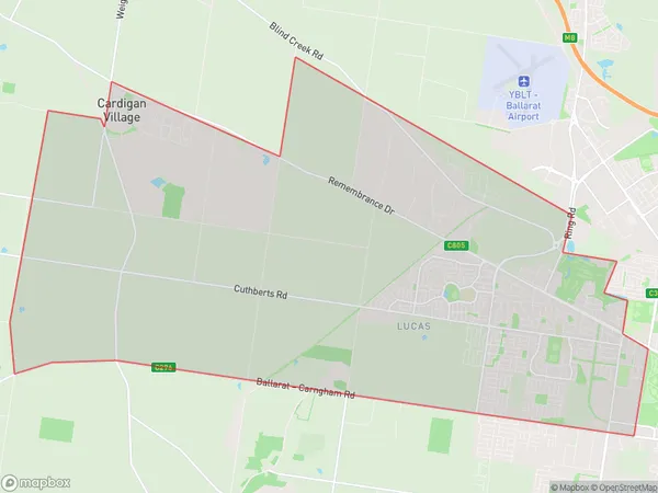
Cardigan VillageCardigan Village Suburb Area Map (Polygon)

Cardigan Village Introduction
Cardigan Village is a historic gold mining settlement located in the Central Highlands of Victoria, Australia. It was established in the 1850s and is renowned for its picturesque architecture and rich heritage. The village is a popular tourist destination and is home to several historic buildings, including the Cardigan Post Office, the Cardigan Hotel, and the Old Gold Mine Museum. The nearby Lake Wendouree provides opportunities for fishing, boating, and swimming.State Name
City or Big Region
District or Regional Area
Suburb Name
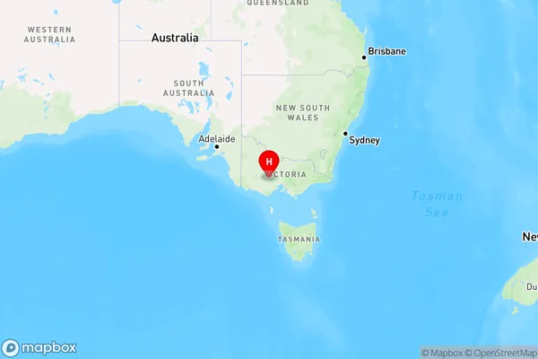
Cardigan Village Region Map

Country
Main Region in AU
R3Coordinates
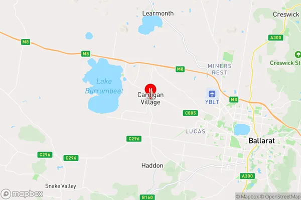
-37.517945,143.7084479 (latitude/longitude)Cardigan Village Area Map (Street)

Longitude
143.662387Latitude
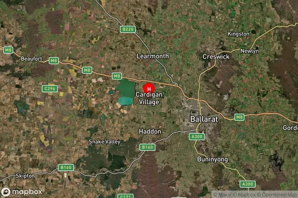
-37.482132Cardigan Village Suburb Map (Satellite)

Distances
The distance from Cardigan Village, Ballarat, VIC to AU Greater Capital CitiesSA1 Code 2011
20101100115SA1 Code 2016
20101100115SA2 Code
201011001SA3 Code
20101SA4 Code
201RA 2011
2RA 2016
2MMM 2015
2MMM 2019
2Charge Zone
V2LGA Region
BallaratLGA Code
20570Electorate
Wannon