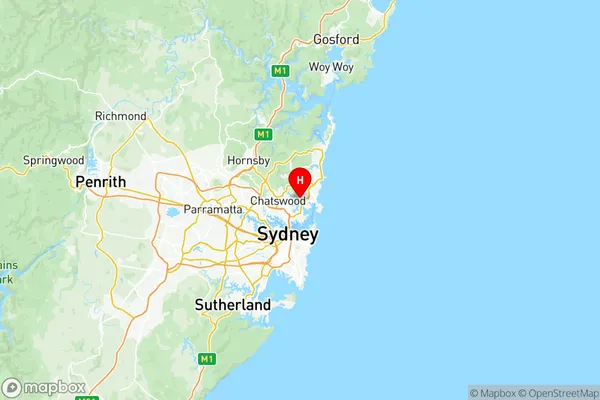
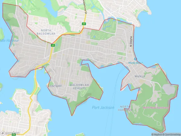
Manly Suburbs & Region, Manly Map & Postcodes
Manly Suburbs & Region, Manly Map & Postcodes in Manly, Sydney Northern Beaches, NSW, AU
Manly Region
Region Name
Manly (NSW, AU)Manly Area
14.35 square kilometers (14.35 ㎢)Postal Codes
1655, 2092, 2094, and 2095 (In total, there are 4 postcodes in Manly.)Manly Introduction
Manly is a suburb on the northern beaches of Sydney, in New South Wales, Australia. It is located 12 kilometers north-east of the Sydney central business district and is part of the Northern Beaches Council. Manly is known for its beautiful beaches, vibrant nightlife, and outdoor activities. The suburb has a population of around 35,000 people and is home to a number of popular attractions, including the Manly Wharf, the Manly Ocean Baths, and the Manly Sea Life Sanctuary.Australia State
City or Big Region
District or Regional Area
Manly Region Map

Manly Postcodes / Zip Codes
Manly Suburbs
Manly full address
Manly, Sydney Northern Beaches, New South Wales, NSW, Australia, SaCode: 12201Country
Manly, Sydney Northern Beaches, New South Wales, NSW, Australia, SaCode: 12201
Manly Suburbs & Region, Manly Map & Postcodes has 1 areas or regions above, and there are 5 Manly suburbs below. The sa3code for the Manly region is 12201. Its latitude and longitude coordinates are -33.7927,151.242.
Manly Suburbs & Localities
1. Manly
2. Manly East
3. Seaforth
4. Fairlight
5. Manly
