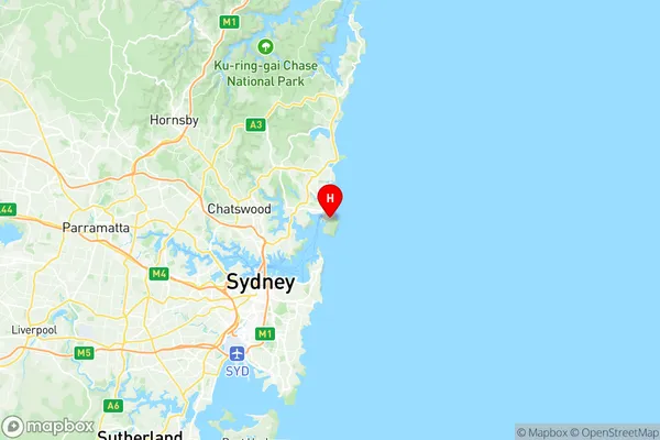
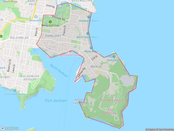
Manly Fairlight Suburbs & Region, Manly Fairlight Map & Postcodes
Manly Fairlight Suburbs & Region, Manly Fairlight Map & Postcodes in Manly Fairlight, Manly, Sydney Northern Beaches, NSW, AU
Manly Fairlight Region
Region Name
Manly Fairlight (NSW, AU)Manly Fairlight Area
6.74 square kilometers (6.74 ㎢)Postal Codes
1655, 2094, and 2095 (In total, there are 3 postcodes in Manly Fairlight.)Manly Fairlight Introduction
Manly Fairlight is a suburb on the northern beaches of Sydney, in New South Wales, Australia. It is located 12 kilometers northeast of the Sydney central business district and is part of the Northern Beaches Council. The suburb is known for its beautiful beaches, scenic walks, and vibrant community. It is home to a large number of cafes, restaurants, and shops, as well as a popular outdoor swimming pool and a community center. Manly Fairlight is also well-connected to other parts of Sydney, with regular bus and ferry services to the city center.Australia State
City or Big Region
Greater Capital City
Greater Sydney (1GSYD)District or Regional Area
Suburb Name
Manly Fairlight Region Map

Manly Fairlight Postcodes / Zip Codes
Manly Fairlight Suburbs
Manly Fairlight full address
Manly Fairlight, Manly, Sydney Northern Beaches, New South Wales, NSW, Australia, SaCode: 122011419Country
Manly Fairlight, Manly, Sydney Northern Beaches, New South Wales, NSW, Australia, SaCode: 122011419
Manly Fairlight Suburbs & Region, Manly Fairlight Map & Postcodes has 0 areas or regions above, and there are 4 Manly Fairlight suburbs below. The sa2code for the Manly Fairlight region is 122011419. Its latitude and longitude coordinates are -33.806,151.295. Manly Fairlight area belongs to Australia's greater capital city Greater Sydney.
Manly Fairlight Suburbs & Localities
1. Manly
2. Manly East
3. Fairlight
4. Manly
