Manly East Area, Manly East Postcode(2095) & Map in Manly East, Sydney - Northern Beaches, NSW
Manly East Area, Manly East Postcode(2095) & Map in Manly East, Sydney - Northern Beaches, NSW, AU, Postcode: 2095
Manly East, Manly - Fairlight, Manly, Sydney - Northern Beaches, New South Wales, Australia, 2095
Manly East Postcode
Area Name
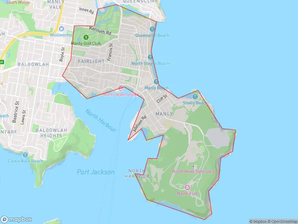
Manly EastManly East Suburb Area Map (Polygon)

Manly East Introduction
Manly East is a suburb on Sydney's Northern Beaches, located 10 kilometers northeast of the city center. It is known for its beautiful beaches, lush parks, and vibrant community. The suburb has a population of around 10,000 people and is home to a variety of shops, cafes, and restaurants. Manly East is also a popular destination for outdoor enthusiasts, with many walking and cycling trails nearby. The area is surrounded by stunning ocean views and is a popular spot for swimming, surfing, and snorkeling.State Name
City or Big Region
District or Regional Area
Suburb Name
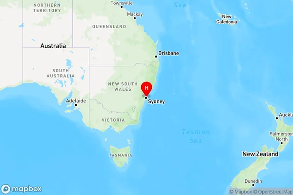
Manly East Region Map

Country
Main Region in AU
R1Coordinates
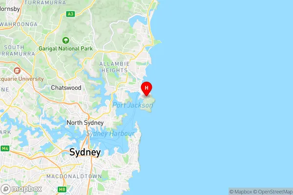
-33.8060158,151.2947775 (latitude/longitude)Manly East Area Map (Street)

Longitude
151.294675Latitude
-33.815482Manly East Elevation
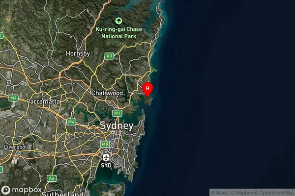
about 94.63 meters height above sea level (Altitude)Manly East Suburb Map (Satellite)

Distances
The distance from Manly East, Sydney - Northern Beaches, NSW to AU Greater Capital CitiesSA1 Code 2011
12201141939SA1 Code 2016
12201141939SA2 Code
122011419SA3 Code
12201SA4 Code
122RA 2011
1RA 2016
1MMM 2015
1MMM 2019
1Charge Zone
N1LGA Region
MosmanLGA Code
15350Electorate
Warringah