Seaforth Area, Seaforth Postcode(2092) & Map in Seaforth, Sydney - Northern Beaches, NSW
Seaforth Area, Seaforth Postcode(2092) & Map in Seaforth, Sydney - Northern Beaches, NSW, AU, Postcode: 2092
Seaforth, Balgowlah - Clontarf - Seaforth, Manly, Sydney - Northern Beaches, New South Wales, Australia, 2092
Seaforth Postcode
Area Name
SeaforthSeaforth Suburb Area Map (Polygon)

Seaforth Introduction
Seaforth is a suburb in northern Sydney, known for its beautiful beaches, vibrant community, and relaxed atmosphere. It is located between the suburbs of Manly and Chatswood and is surrounded by the Pacific Ocean and Sydney Harbour. Seaforth has a rich history and was once home to a thriving fishing community. It is now a popular residential area with a mix of modern apartments and houses. The suburb has a variety of shops, cafes, and restaurants, as well as a community center and a library. Seaforth is also home to several parks and recreational facilities, including the Seaforth Reserve and the Seaforth Pool.State Name
City or Big Region
District or Regional Area
Suburb Name
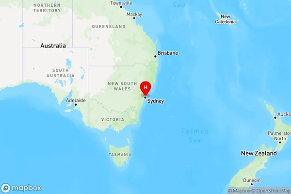
Seaforth Region Map

Country
Main Region in AU
R1Coordinates
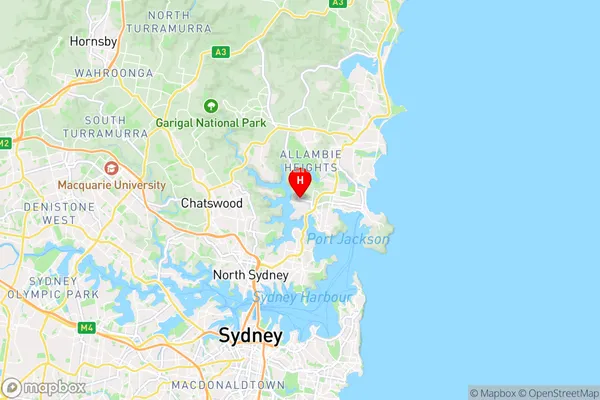
-33.7927181,151.2423032 (latitude/longitude)Seaforth Area Map (Street)

Longitude
151.241813Latitude
-33.796636Seaforth Elevation
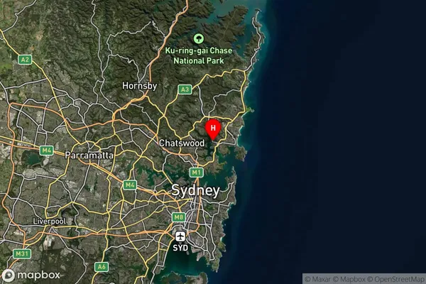
about 67.25 meters height above sea level (Altitude)Seaforth Suburb Map (Satellite)

Distances
The distance from Seaforth, Sydney - Northern Beaches, NSW to AU Greater Capital CitiesSA1 Code 2011
12201141815SA1 Code 2016
12201141815SA2 Code
122011418SA3 Code
12201SA4 Code
122RA 2011
1RA 2016
1MMM 2015
1MMM 2019
1Charge Zone
N1LGA Region
MosmanLGA Code
15350Electorate
Warringah