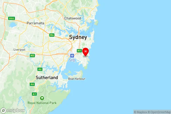
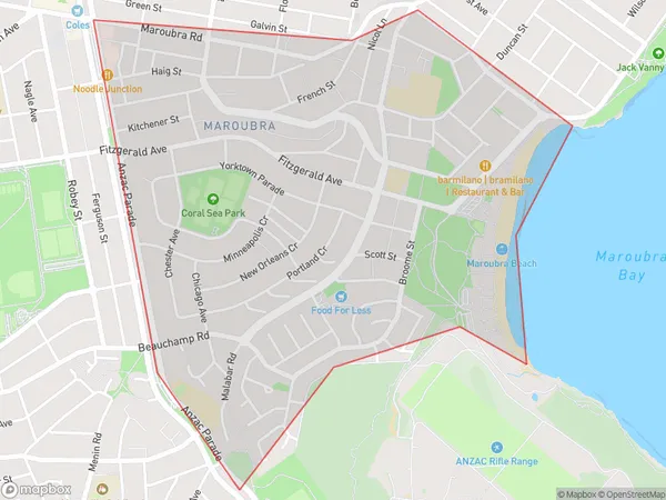
Maroubra South Suburbs & Region, Maroubra South Map & Postcodes
Maroubra South Suburbs & Region, Maroubra South Map & Postcodes in Maroubra South, Eastern Suburbs South, Sydney Eastern Suburbs, NSW, AU
Maroubra South Region
Region Name
Maroubra South (NSW, AU)Maroubra South Area
2.07 square kilometers (2.07 ㎢)Postal Codes
2035 (In total, there are 1 postcodes in Maroubra South.)Maroubra South Introduction
Maroubra South is a suburb in the Eastern Suburbs of Sydney, in New South Wales, Australia. It is located 9 kilometers south of the Sydney central business district and is part of the City of Sydney local government area. Maroubra South is known for its beach, with a long stretch of sand and surf breaks. It is also home to the Maroubra Surf Club, one of the oldest surf clubs in Australia. The suburb has a mixed population, with a significant Greek community and a growing number of immigrants from Asia and the Middle East. It is surrounded by other popular suburbs, including Randwick, Coogee, and Bronte.Australia State
City or Big Region
Greater Capital City
Greater Sydney (1GSYD)District or Regional Area
Suburb Name
Maroubra South Region Map

Maroubra South Postcodes / Zip Codes
Maroubra South Suburbs
Maroubra South full address
Maroubra South, Eastern Suburbs South, Sydney Eastern Suburbs, New South Wales, NSW, Australia, SaCode: 118021567Country
Maroubra South, Eastern Suburbs South, Sydney Eastern Suburbs, New South Wales, NSW, Australia, SaCode: 118021567
Maroubra South Suburbs & Region, Maroubra South Map & Postcodes has 0 areas or regions above, and there are 2 Maroubra South suburbs below. The sa2code for the Maroubra South region is 118021567. Its latitude and longitude coordinates are -33.9495,151.244. Maroubra South area belongs to Australia's greater capital city Greater Sydney.
Maroubra South Suburbs & Localities
1. Maroubra
2. Maroubra South
