Maroubra South Area, Maroubra South Postcode(2035) & Map in Maroubra South, Sydney - Eastern Suburbs, NSW
Maroubra South Area, Maroubra South Postcode(2035) & Map in Maroubra South, Sydney - Eastern Suburbs, NSW, AU, Postcode: 2035
Maroubra South, Maroubra - South, Eastern Suburbs - South, Sydney - Eastern Suburbs, New South Wales, Australia, 2035
Maroubra South Postcode
Area Name
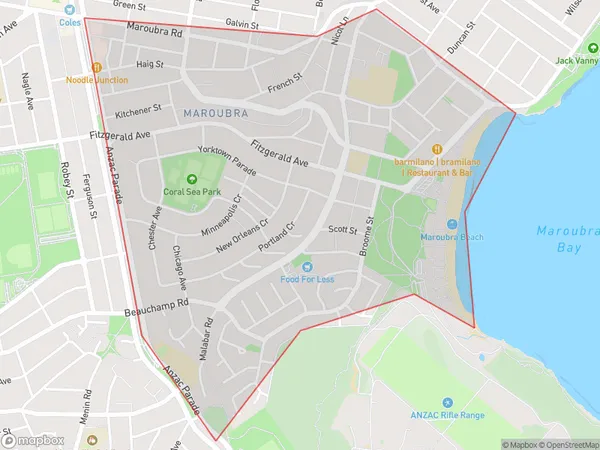
Maroubra SouthMaroubra South Suburb Area Map (Polygon)

Maroubra South Introduction
Maroubra South is a suburb in the Eastern Suburbs of Sydney, in New South Wales, Australia. It is located 9 kilometers south of the Sydney central business district and is part of the City of Randwick. The suburb is known for its beach, with Maroubra Beach being a popular destination for swimmers, surfers, and beachgoers. It is also home to the Maroubra Junction, a major shopping and entertainment precinct.State Name
City or Big Region
District or Regional Area
Suburb Name
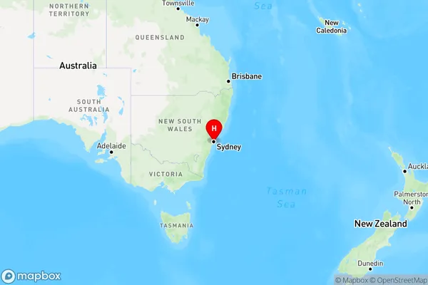
Maroubra South Region Map

Country
Main Region in AU
R1Coordinates
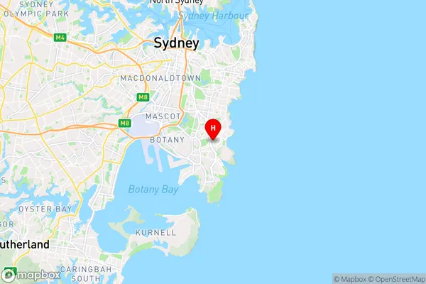
-33.9495,151.2437 (latitude/longitude)Maroubra South Area Map (Street)

Longitude
151.241292Latitude
-33.945635Maroubra South Elevation
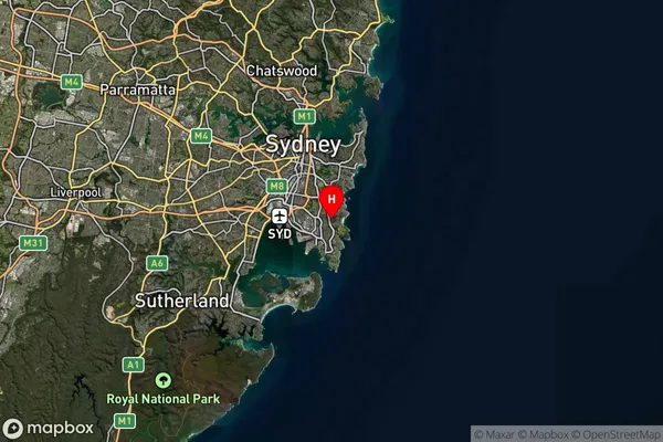
about 27.69 meters height above sea level (Altitude)Maroubra South Suburb Map (Satellite)

Distances
The distance from Maroubra South, Sydney - Eastern Suburbs, NSW to AU Greater Capital CitiesSA1 Code 2011
11802135143SA1 Code 2016
11802156709SA2 Code
118021567SA3 Code
11802SA4 Code
118RA 2011
1RA 2016
1MMM 2015
1MMM 2019
1Charge Zone
N1LGA Region
RandwickLGA Code
16550Electorate
Barton