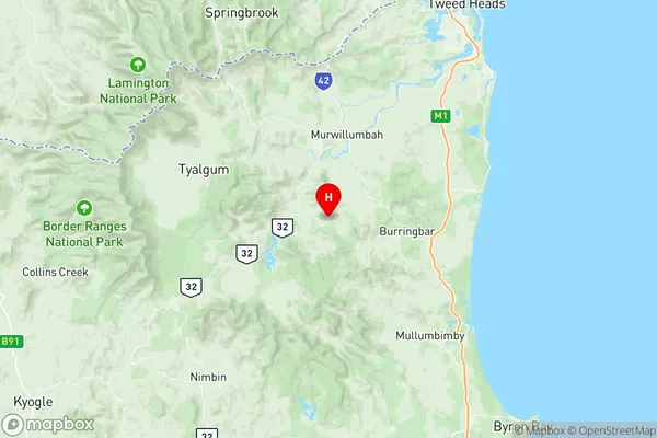
Murwillumbah Region Suburbs & Region, Murwillumbah Region Map & Postcodes
Murwillumbah Region Suburbs & Region, Murwillumbah Region Map & Postcodes in Murwillumbah Region, Tweed Valley, Richmond Tweed, NSW, AU
Murwillumbah Region Region
Region Name
Murwillumbah Region (NSW, AU)Murwillumbah Region Area
908.24 square kilometers (908.24 ㎢)Postal Codes
2484, 2487, and 2490 (In total, there are 3 postcodes in Murwillumbah Region.)Murwillumbah Region Introduction
Murwillumbah Region is a local government area in the Northern Rivers region of New South Wales, Australia. It is located about 65 km south of the state capital, Sydney, and covers an area of 1,257 square kilometers. The region is named after the Murwillumbah River, which flows through it. The region has a population of approximately 25,000 people and is home to a number of popular tourist destinations, including the Murwillumbah Lighthouse, the Mount Warning National Park, and the Tweed River National Park. The region is also known for its agricultural industry, with a number of farms and wineries located in the area.Australia State
City or Big Region
Greater Capital City
Rest of NSW (1RNSW)District or Regional Area
Suburb Name
Murwillumbah Region Region Map

Murwillumbah Region Postcodes / Zip Codes
Murwillumbah Region Suburbs
Murwillumbah Region full address
Murwillumbah Region, Tweed Valley, Richmond Tweed, New South Wales, NSW, Australia, SaCode: 112031252Country
Murwillumbah Region, Tweed Valley, Richmond Tweed, New South Wales, NSW, Australia, SaCode: 112031252
Murwillumbah Region Suburbs & Region, Murwillumbah Region Map & Postcodes has 0 areas or regions above, and there are 50 Murwillumbah Region suburbs below. The sa2code for the Murwillumbah Region region is 112031252. Its latitude and longitude coordinates are -28.4198,153.374. Murwillumbah Region area belongs to Australia's greater capital city Rest of NSW.
Murwillumbah Region Suburbs & Localities
1. Brays Creek
2. Condong
3. Dungay
4. Kynnumboon
5. Limpinwood
6. Palmvale
7. Rowlands Creek
8. Tyalgum
9. Upper Crystal Creek
10. Wardrop Valley
11. Chillingham
12. Commissioners Creek
13. Fernvale
14. Kunghur
15. Mebbin
16. Nobbys Creek
17. North Arm
18. Numinbah
19. Tumbulgum
20. Back Creek
21. Byangum
22. Cedar Creek
23. Dulguigan
24. Eungella
25. Kielvale
26. Kunghur Creek
27. Mount Burrell
28. Nunderi
29. Reserve Creek
30. Uki
31. Zara
32. Stotts Creek
33. Byrrill Creek
34. Chowan Creek
35. Clothiers Creek
36. Crystal Creek
37. Doon Doon
38. Dum Dum
39. Dunbible
40. Eviron
41. Farrants Hill
42. Hopkins Creek
43. Midginbil
44. Mount Warning
45. Pumpenbil
46. Smiths Creek
47. Stokers Siding
48. Terragon
49. Tyalgum Creek
50. Tygalgah
