Richmond Tweed Suburbs & Region, Richmond Tweed Map & Postcodes
Richmond Tweed Suburbs & Region, Richmond Tweed Map & Postcodes in Richmond Tweed, NSW, AU
Richmond Tweed Region
Region Name
Richmond Tweed (NSW, AU)Richmond Tweed Area
10271 square kilometers (10,271 ㎢)Richmond Tweed Introduction
Richmond Tweed is a small town in the Clarence Valley region of New South Wales, Australia. It is located in the Macleay Valley Shire and is known for its production of high-quality tweed fabrics. The town is surrounded by beautiful countryside and is a popular tourist destination. The Richmond Tweed River flows through the town, and the area is home to a variety of wildlife, including kangaroos, wallabies, and echidnas. The town has a historic main street with charming shops and cafes, and there are several heritage-listed buildings in the area. The Richmond Tweed Museum is a popular attraction that showcases the history and culture of the region.Australia State
City or Big Region
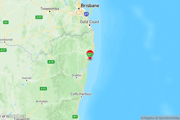
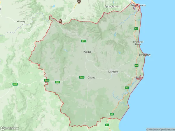
Richmond Tweed Region Map

Richmond Tweed Suburbs
Richmond Valley Coastal
Richmond Valley Hinterland
Tweed Valley
Richmond Tweed full address
Richmond Tweed, New South Wales, NSW, Australia, SaCode: 112Country
Richmond Tweed, New South Wales, NSW, Australia, SaCode: 112
Richmond Tweed Suburbs & Region, Richmond Tweed Map & Postcodes has 3 areas or regions above, and there are 0 Richmond Tweed suburbs below. The sa4code for the Richmond Tweed region is 112. Its latitude and longitude coordinates are -29.1242,153.431.
