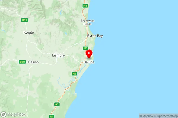
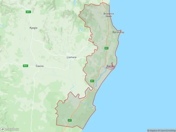
Richmond Valley Coastal Suburbs & Region, Richmond Valley Coastal Map & Postcodes
Richmond Valley Coastal Suburbs & Region, Richmond Valley Coastal Map & Postcodes in Richmond Valley Coastal, Richmond Tweed, NSW, AU
Richmond Valley Coastal Region
Region Name
Richmond Valley Coastal (NSW, AU)Richmond Valley Coastal Area
1573 square kilometers (1,573 ㎢)Richmond Valley Coastal Introduction
Richmond Valley Coastal is a locality in the City of Richmond, New South Wales, Australia. It is located on the Tweed River and is part of the Northern Rivers region. The area is known for its beautiful beaches, lush forests, and scenic countryside. It is a popular tourist destination and has a number of accommodation options, including resorts, hotels, and holiday rentals. The area is also home to a number of cafes, restaurants, and shops. The Richmond Valley Coastal is a great place to relax and enjoy the natural beauty of the region.Australia State
City or Big Region
District or Regional Area
Richmond Valley Coastal Region Map

Richmond Valley Coastal Suburbs
Lennox Head Skennars Head
Richmond Valley Coastal full address
Richmond Valley Coastal, Richmond Tweed, New South Wales, NSW, Australia, SaCode: 11201Country
Richmond Valley Coastal, Richmond Tweed, New South Wales, NSW, Australia, SaCode: 11201
Richmond Valley Coastal Suburbs & Region, Richmond Valley Coastal Map & Postcodes has 5 areas or regions above, and there are 0 Richmond Valley Coastal suburbs below. The sa3code for the Richmond Valley Coastal region is 11201. Its latitude and longitude coordinates are -28.838,153.563.
