Eviron Area, Eviron Postcode(2484) & Map in Eviron, Richmond - Tweed, NSW
Eviron Area, Eviron Postcode(2484) & Map in Eviron, Richmond - Tweed, NSW, AU, Postcode: 2484
Eviron, Murwillumbah Region, Tweed Valley, Richmond - Tweed, New South Wales, Australia, 2484
Eviron Postcode
Area Name
EvironEviron Suburb Area Map (Polygon)

Eviron Introduction
Eviron is a rural locality in the Tweed Shire, New South Wales, Australia. It is located on the Pacific Highway and is about 125 km north of the state capital, Sydney. The post office opened as Eviron on 1 October 1922 and was closed on 1 March 1974.State Name
City or Big Region
District or Regional Area
Suburb Name
Eviron Region Map
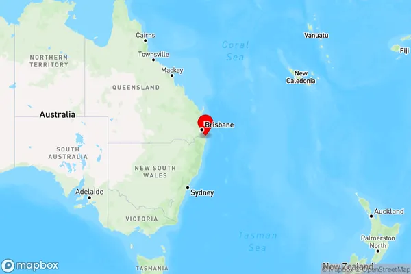
Country
Main Region in AU
R3Coordinates
-28.303726,153.4921029 (latitude/longitude)Eviron Area Map (Street)
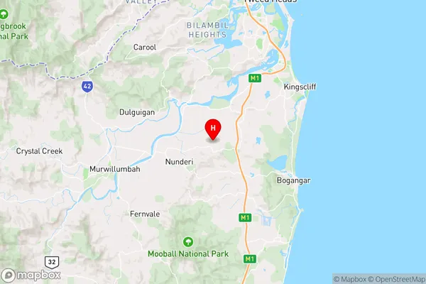
Longitude
153.31648Latitude
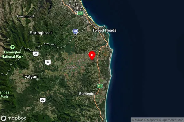
-28.38059Eviron Elevation
about 308.56 meters height above sea level (Altitude)Eviron Suburb Map (Satellite)
Distances
The distance from Eviron, Richmond - Tweed, NSW to AU Greater Capital CitiesSA1 Code 2011
11203125225SA1 Code 2016
11203125225SA2 Code
112031252SA3 Code
11203SA4 Code
112RA 2011
2RA 2016
2MMM 2015
2MMM 2019
2Charge Zone
N2LGA Region
TweedLGA Code
17550Electorate
Richmond