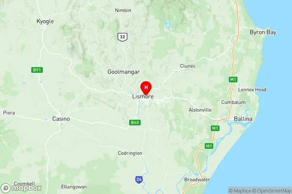
Lismore Suburbs & Region, Lismore Map & Postcodes
Lismore Suburbs & Region, Lismore Map & Postcodes in Lismore, Richmond Valley Hinterland, Richmond Tweed, NSW, AU
Lismore Region
Region Name
Lismore (NSW, AU)Lismore Area
63.31 square kilometers (63.31 ㎢)Postal Codes
2480 (In total, there are 1 postcodes in Lismore.)Lismore Introduction
Lismore is a city in the Northern Rivers region of New South Wales, Australia. It is the administrative center of the Richmond Valley Council and is situated on the banks of the Richmond River. The city has a population of around 35,000 people and is known for its historic architecture, including the Lismore Castle and the Lismore Workers' Club. Lismore is also home to a number of cultural institutions, including the Lismore Regional Gallery and the Lismore Theatre. The city is surrounded by beautiful natural scenery, including the Byrnes Forest and the Mount Warning National Park.Australia State
City or Big Region
Greater Capital City
Rest of NSW (1RNSW)District or Regional Area
Suburb Name
Lismore Region Map

Lismore Postcodes / Zip Codes
Lismore Suburbs
Lismore full address
Lismore, Richmond Valley Hinterland, Richmond Tweed, New South Wales, NSW, Australia, SaCode: 112021248Country
Lismore, Richmond Valley Hinterland, Richmond Tweed, New South Wales, NSW, Australia, SaCode: 112021248
Lismore Suburbs & Region, Lismore Map & Postcodes has 0 areas or regions above, and there are 11 Lismore suburbs below. The sa2code for the Lismore region is 112021248. Its latitude and longitude coordinates are -28.8093,153.288. Lismore area belongs to Australia's greater capital city Rest of NSW.
Lismore Suburbs & Localities
1. Lismore Dc
2. Lismore Heights
3. Monaltrie
4. South Lismore
5. Howards Grass
6. Lismore
7. Lagoon Grass
8. Loftville
9. East Lismore
10. Girards Hill
11. North Lismore
