Monaltrie Area, Monaltrie Postcode(2480) & Map in Monaltrie, Richmond - Tweed, NSW
Monaltrie Area, Monaltrie Postcode(2480) & Map in Monaltrie, Richmond - Tweed, NSW, AU, Postcode: 2480
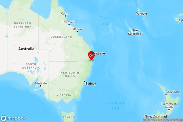
Monaltrie, Lismore, Richmond Valley - Hinterland, Richmond - Tweed, New South Wales, Australia, 2480
Monaltrie Postcode
Area Name
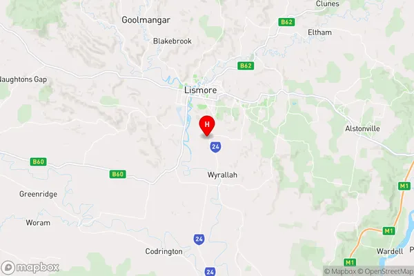
MonaltrieMonaltrie Suburb Area Map (Polygon)

Monaltrie Introduction
Monaltrie is a small rural town in the Tweed Shire of New South Wales, Australia. It is located on the banks of the Tweed River and is about 125 kilometers north of the state capital, Sydney. The town has a population of around 1,000 people and is known for its agricultural industry, particularly the production of bananas and sugar cane. Monaltrie also has a historic railway station and a number of heritage-listed buildings.State Name
City or Big Region
District or Regional Area
Suburb Name
Monaltrie Region Map
Country
Main Region in AU
R3Coordinates
-28.8495596,153.2857165 (latitude/longitude)Monaltrie Area Map (Street)
Longitude
153.25943Latitude
-28.706486Monaltrie Elevation
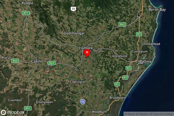
about 17.78 meters height above sea level (Altitude)Monaltrie Suburb Map (Satellite)
Distances
The distance from Monaltrie, Richmond - Tweed, NSW to AU Greater Capital CitiesSA1 Code 2011
11202124832SA1 Code 2016
11202124832SA2 Code
112021248SA3 Code
11202SA4 Code
112RA 2011
2RA 2016
2MMM 2015
3MMM 2019
3Charge Zone
N2LGA Region
LismoreLGA Code
14850Electorate
Richmond