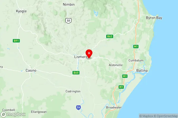
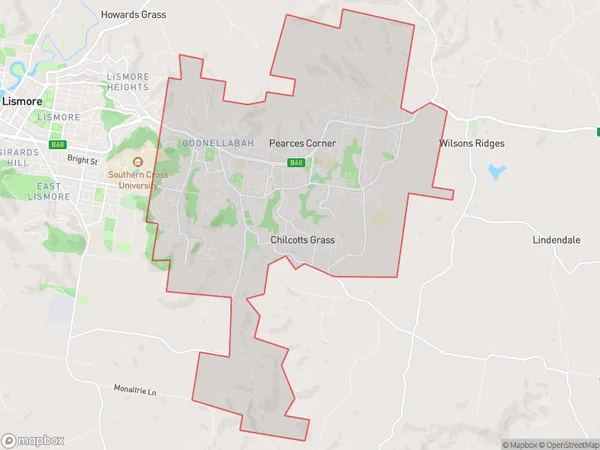
Goonellabah Suburbs & Region, Goonellabah Map & Postcodes
Goonellabah Suburbs & Region, Goonellabah Map & Postcodes in Goonellabah, Richmond Valley Hinterland, Richmond Tweed, NSW, AU
Goonellabah Region
Region Name
Goonellabah (NSW, AU)Goonellabah Area
25.23 square kilometers (25.23 ㎢)Postal Codes
2480 (In total, there are 1 postcodes in Goonellabah.)Goonellabah Introduction
Goonellabah is a suburb of the City of Richmond Tweed in New South Wales, Australia. It is located on the banks of the Tweed River and is part of the Northern Rivers region. The suburb has a population of around 1,500 people and is known for its beautiful natural surroundings, including the Goonellabah Nature Reserve and the Tweed River National Park. The area has a rich history, with evidence of indigenous settlement dating back thousands of years. The name "Goonellabah" comes from the indigenous word "Gooniyalba," meaning "place of water." The suburb is home to a variety of shops, cafes, and restaurants, as well as a community center and a primary school. It is also a popular destination for outdoor activities such as fishing, hiking, and cycling.Australia State
City or Big Region
Greater Capital City
Rest of NSW (1RNSW)District or Regional Area
Suburb Name
Goonellabah Region Map

Goonellabah Postcodes / Zip Codes
Goonellabah Suburbs
Goonellabah full address
Goonellabah, Richmond Valley Hinterland, Richmond Tweed, New South Wales, NSW, Australia, SaCode: 112021246Country
Goonellabah, Richmond Valley Hinterland, Richmond Tweed, New South Wales, NSW, Australia, SaCode: 112021246
Goonellabah Suburbs & Region, Goonellabah Map & Postcodes has 0 areas or regions above, and there are 2 Goonellabah suburbs below. The sa2code for the Goonellabah region is 112021246. Its latitude and longitude coordinates are -28.8167,153.317. Goonellabah area belongs to Australia's greater capital city Rest of NSW.
Goonellabah Suburbs & Localities
1. Goonellabah
2. Chilcotts Grass
