Chilcotts Grass Area, Chilcotts Grass Postcode(2480) & Map in Chilcotts Grass, Richmond - Tweed, NSW
Chilcotts Grass Area, Chilcotts Grass Postcode(2480) & Map in Chilcotts Grass, Richmond - Tweed, NSW, AU, Postcode: 2480
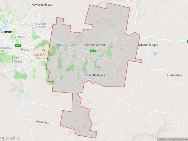
Chilcotts Grass, Goonellabah, Richmond Valley - Hinterland, Richmond - Tweed, New South Wales, Australia, 2480
Chilcotts Grass Postcode
Area Name
Chilcotts GrassChilcotts Grass Suburb Area Map (Polygon)
Chilcotts Grass Introduction
Chilcotts Grass is a locality in the Tweed Shire, New South Wales, Australia. It is located on the Pacific Highway and is part of the Gold Coast region. The post office opened on 1 October 1922 and was closed on 1 March 1974. The name "Chilcotts Grass" is derived from the name of a local family who owned the land in the area.State Name
City or Big Region
District or Regional Area
Suburb Name
Chilcotts Grass Region Map
Country
Main Region in AU
R3Coordinates
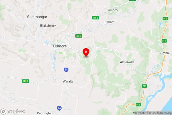
-28.8317775,153.3417171 (latitude/longitude)Chilcotts Grass Area Map (Street)
Longitude
153.25943Latitude
-28.706486Chilcotts Grass Elevation
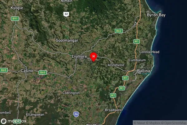
about 17.78 meters height above sea level (Altitude)Chilcotts Grass Suburb Map (Satellite)
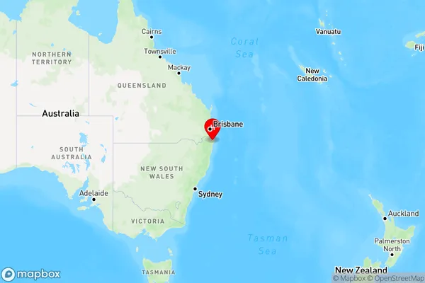
Distances
The distance from Chilcotts Grass, Richmond - Tweed, NSW to AU Greater Capital CitiesSA1 Code 2011
11202124632SA1 Code 2016
11202124632SA2 Code
112021246SA3 Code
11202SA4 Code
112RA 2011
2RA 2016
2MMM 2015
3MMM 2019
3Charge Zone
N2LGA Region
LismoreLGA Code
14850Electorate
Richmond