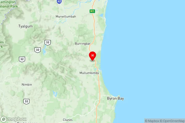
Mullumbimby Suburbs & Region, Mullumbimby Map & Postcodes
Mullumbimby Suburbs & Region, Mullumbimby Map & Postcodes in Mullumbimby, Tweed Valley, Richmond Tweed, NSW, AU
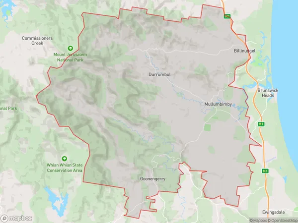
Mullumbimby Region
Region Name
Mullumbimby (NSW, AU)Mullumbimby Area
268.08 square kilometers (268.08 ㎢)Postal Codes
from 2480 to 2483 (In total, there are 4 postcodes in Mullumbimby.)Mullumbimby Introduction
Mullumbimby is a town in the Byron Shire, New South Wales, Australia. It is located in the Northern Rivers region and is known for its alternative and hippie culture. The town has a population of around 4,000 people and is surrounded by lush forests, waterfalls, and stunning beaches. Mullumbimby is home to a variety of cafes, restaurants, and shops, as well as a community arts center and a weekly farmers' market. The town is also known for its sustainable practices, with many residents practicing eco-friendly living and renewable energy sources.Australia State
City or Big Region
Greater Capital City
Rest of NSW (1RNSW)District or Regional Area
Suburb Name
Mullumbimby Region Map

Mullumbimby Postcodes / Zip Codes
Mullumbimby Suburbs
Mullumbimby full address
Mullumbimby, Tweed Valley, Richmond Tweed, New South Wales, NSW, Australia, SaCode: 112011243Country
Mullumbimby, Tweed Valley, Richmond Tweed, New South Wales, NSW, Australia, SaCode: 112011243
Mullumbimby Suburbs & Region, Mullumbimby Map & Postcodes has 0 areas or regions above, and there are 19 Mullumbimby suburbs below. The sa2code for the Mullumbimby region is 112011243. Its latitude and longitude coordinates are -28.5036,153.516. Mullumbimby area belongs to Australia's greater capital city Rest of NSW.
Mullumbimby Suburbs & Localities
1. Myocum
2. Koonyum Range
3. Main Arm
4. Mullumbimby
5. Mullumbimby Creek
6. Huonbrook
7. Wanganui
8. Billinudgel
9. The Pocket
10. Upper Coopers Creek
11. Goonengerry
12. Montecollum
13. Upper Coopers Creek
14. Upper Wilsons Creek
15. Wilsons Creek
16. Palmwoods
17. Upper Main Arm
18. Middle Pocket
19. Yelgun
