Upper Wilsons Creek Area, Upper Wilsons Creek Postcode(2482) & Map in Upper Wilsons Creek, Richmond - Tweed, NSW
Upper Wilsons Creek Area, Upper Wilsons Creek Postcode(2482) & Map in Upper Wilsons Creek, Richmond - Tweed, NSW, AU, Postcode: 2482
Upper Wilsons Creek, Mullumbimby, Richmond Valley - Coastal, Richmond - Tweed, New South Wales, Australia, 2482
Upper Wilsons Creek Postcode
Area Name
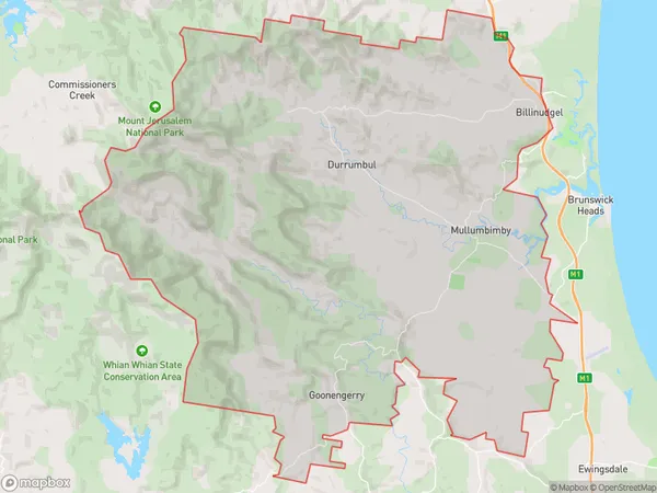
Upper Wilsons CreekUpper Wilsons Creek Suburb Area Map (Polygon)
Upper Wilsons Creek Introduction
Upper Wilsons Creek is a small town located in the Richmond-Tweed region of New South Wales, Australia. It is situated on the banks of the Wilsons Creek and is known for its scenic beauty, including the nearby Mount Warning National Park. The town has a population of around 1,000 people and offers a range of amenities, including a general store, a hotel, and a post office.State Name
City or Big Region
District or Regional Area
Suburb Name
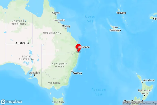
Upper Wilsons Creek Region Map
Country
Main Region in AU
R3Coordinates
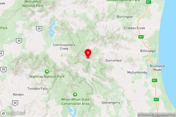
-28.5196744,153.3859379 (latitude/longitude)Upper Wilsons Creek Area Map (Street)
Longitude
153.3828891Latitude
-28.51717621Upper Wilsons Creek Elevation
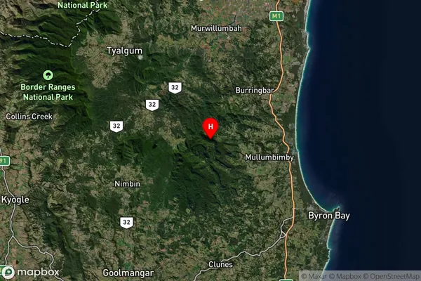
about 458.98 meters height above sea level (Altitude)Upper Wilsons Creek Suburb Map (Satellite)
Distances
The distance from Upper Wilsons Creek, Richmond - Tweed, NSW to AU Greater Capital CitiesSA1 Code 2011
11201124320SA1 Code 2016
11201124320SA2 Code
112011243SA3 Code
11201SA4 Code
112RA 2011
2RA 2016
2MMM 2015
5MMM 2019
5Charge Zone
N2LGA Region
ByronLGA Code
11350Electorate
Richmond