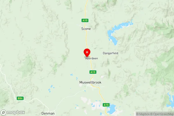
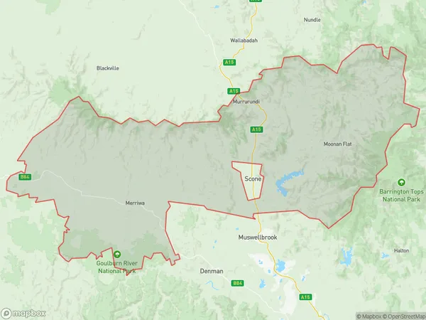
Scone Region Suburbs & Region, Scone Region Map & Postcodes
Scone Region Suburbs & Region, Scone Region Map & Postcodes in Scone Region, Tamworth Gunnedah, New England and North West, NSW, AU
Scone Region Region
Region Name
Scone Region (NSW, AU)Scone Region Area
7949 square kilometers (7,949 ㎢)Postal Codes
2329, 2333, and from 2336 to 2338 (In total, there are 5 postcodes in Scone Region.)Scone Region Introduction
The Scone Region is a local government area in the New England and North West region of New South Wales, Australia. It is located in the Upper Hunter Valley and covers an area of 1,195 square kilometers. The region is home to the town of Scone and a number of smaller communities. The region is known for its agricultural industry, particularly its production of wool, beef, and lamb. It is also home to a number of wineries and tourist attractions, including the Scone Palace and the Hunter Valley Wine Country.Australia State
City or Big Region
Greater Capital City
Rest of NSW (1RNSW)District or Regional Area
Suburb Name
Scone Region Region Map

Scone Region Postcodes / Zip Codes
Scone Region Suburbs
Scone Region full address
Scone Region, Tamworth Gunnedah, New England and North West, New South Wales, NSW, Australia, SaCode: 106041129Country
Scone Region, Tamworth Gunnedah, New England and North West, New South Wales, NSW, Australia, SaCode: 106041129
Scone Region Suburbs & Region, Scone Region Map & Postcodes has 0 areas or regions above, and there are 42 Scone Region suburbs below. The sa2code for the Scone Region region is 106041129. Its latitude and longitude coordinates are -32.1677,150.873. Scone Region area belongs to Australia's greater capital city Rest of NSW.
Scone Region Suburbs & Localities
1. Cassilis
2. Gungal
3. Rouchel Brook
4. Upper Rouchel
5. Dry Creek
6. Aberdeen
7. Belltrees
8. Glenbawn
9. Moobi
10. Davis Creek
11. Rouchel
12. Upper Dartbrook
13. Ellerston
14. Glenrock
15. Gundy
16. Merriwa
17. Dartbrook
18. Rossgole
19. Brawboy
20. Bunnan
21. Kars Springs
22. Moonan Brook
23. Omadale
24. Parkville
25. Waverly
26. Timor
27. Moonan Flat
28. Murulla
29. Pages Creek
30. Tomalla
31. Crawney
32. Murrurundi
33. Pages River
34. Scotts Creek
35. Segenhoe
36. Stewarts Brook
37. Wingen
38. Owens Gap
39. Woolooma
40. Blandford
41. Green Creek
42. Sandy Creek
