Rossgole Area, Rossgole Postcode(2336) & Map in Rossgole, Hunter Valley exc Newcastle, NSW
Rossgole Area, Rossgole Postcode(2336) & Map in Rossgole, Hunter Valley exc Newcastle, NSW, AU, Postcode: 2336
Rossgole, Scone Region, Upper Hunter, Hunter Valley exc Newcastle, New South Wales, Australia, 2336
Rossgole Postcode
Area Name
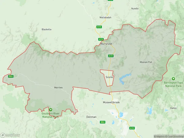
RossgoleRossgole Suburb Area Map (Polygon)

Rossgole Introduction
Rossgole is a historic homestead located in the Hunter Valley, approximately 125 kilometers (78 miles) north of Sydney, New South Wales, Australia. It was built in the 1830s by John Palmer and is a fine example of a Georgian-style country house. The homestead is surrounded by picturesque gardens and farmland and is listed on the New South Wales State Heritage Register. It is currently operated as a bed and breakfast and wedding venue.State Name
City or Big Region
District or Regional Area
Suburb Name
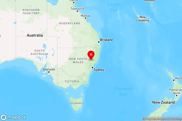
Rossgole Region Map

Country
Main Region in AU
R3Coordinates
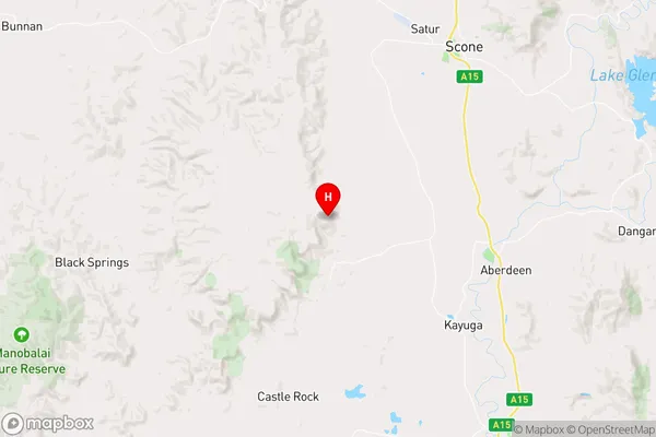
-32.1416751,150.7828221 (latitude/longitude)Rossgole Area Map (Street)

Longitude
151.102917Latitude
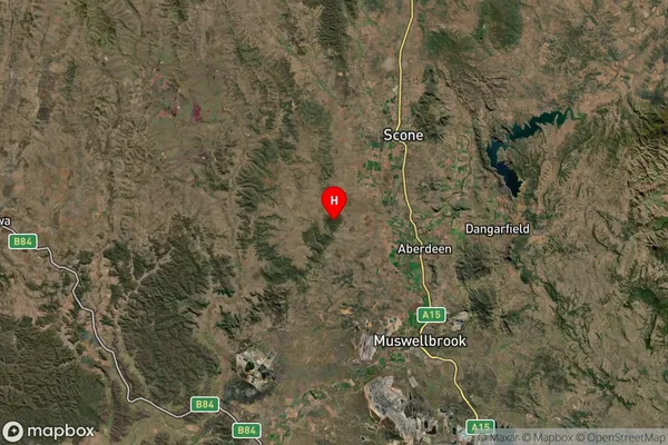
-32.14622Rossgole Suburb Map (Satellite)

Distances
The distance from Rossgole, Hunter Valley exc Newcastle, NSW to AU Greater Capital CitiesSA1 Code 2011
10604112905SA1 Code 2016
10604112905SA2 Code
106041129SA3 Code
10604SA4 Code
106RA 2011
2RA 2016
2MMM 2015
5MMM 2019
5Charge Zone
N2LGA Region
Upper Hunter ShireLGA Code
17620Electorate
Hunter