Owens Gap Area, Owens Gap Postcode(2337) & Map in Owens Gap, Hunter Valley exc Newcastle, NSW
Owens Gap Area, Owens Gap Postcode(2337) & Map in Owens Gap, Hunter Valley exc Newcastle, NSW, AU, Postcode: 2337
Owens Gap, Scone Region, Upper Hunter, Hunter Valley exc Newcastle, New South Wales, Australia, 2337
Owens Gap Postcode
Area Name
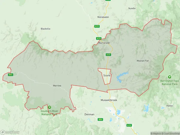
Owens GapOwens Gap Suburb Area Map (Polygon)

Owens Gap Introduction
Owens Gap is a mountain pass in the Blue Mountains of New South Wales, Australia, located between the towns of Kurrajong and Mount Werong. It is part of the Great Dividing Range and is a popular hiking and climbing destination. The pass offers stunning views of the surrounding countryside and is a popular spot for picnics and outdoor activities.State Name
City or Big Region
District or Regional Area
Suburb Name
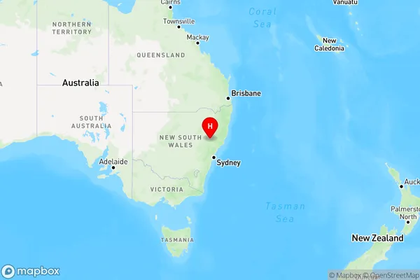
Owens Gap Region Map

Country
Main Region in AU
R3Coordinates
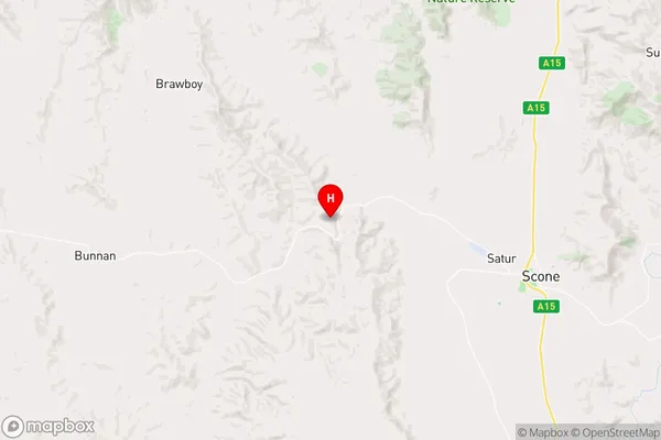
-32.0203889,150.7372786 (latitude/longitude)Owens Gap Area Map (Street)

Longitude
151.080412Latitude
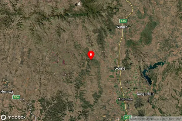
-31.966754Owens Gap Suburb Map (Satellite)

Distances
The distance from Owens Gap, Hunter Valley exc Newcastle, NSW to AU Greater Capital CitiesSA1 Code 2011
10604112920SA1 Code 2016
10604112920SA2 Code
106041129SA3 Code
10604SA4 Code
106RA 2011
3RA 2016
3MMM 2015
5MMM 2019
5Charge Zone
N2LGA Region
Upper Hunter ShireLGA Code
17620Electorate
Parkes