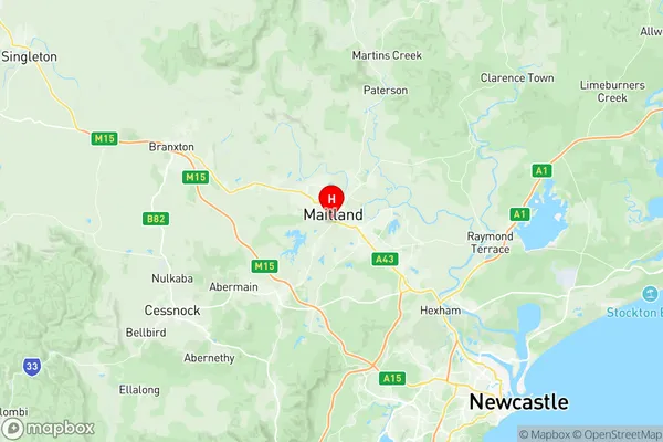
Maitland Suburbs & Region, Maitland Map & Postcodes
Maitland Suburbs & Region, Maitland Map & Postcodes in Maitland, Port Stephens, Hunter Valley exc Newcastle, NSW, AU
Maitland Region
Region Name
Maitland (NSW, AU)Maitland Area
32.08 square kilometers (32.08 ㎢)Postal Codes
2320, and 2321 (In total, there are 2 postcodes in Maitland.)Maitland Introduction
Maitland is a city in the Hunter Region of New South Wales, Australia, and is the administrative center of the City of Maitland. It is located about 110 kilometers (68 mi) north of Sydney and 15 kilometers (9 mi) south of Newcastle. Maitland is known for its historic buildings, including the Maitland Gaol, which is now a museum. The city also has a number of parks and gardens, including the Maitland Botanic Garden, which is one of the largest botanical gardens in Australia.Australia State
City or Big Region
Greater Capital City
Rest of NSW (1RNSW)District or Regional Area
Suburb Name
Maitland Region Map

Maitland Postcodes / Zip Codes
Maitland Suburbs
Maitland full address
Maitland, Port Stephens, Hunter Valley exc Newcastle, New South Wales, NSW, Australia, SaCode: 106021114Country
Maitland, Port Stephens, Hunter Valley exc Newcastle, New South Wales, NSW, Australia, SaCode: 106021114
Maitland Suburbs & Region, Maitland Map & Postcodes has 0 areas or regions above, and there are 6 Maitland suburbs below. The sa2code for the Maitland region is 106021114. Its latitude and longitude coordinates are -32.7384,151.549. Maitland area belongs to Australia's greater capital city Rest of NSW.
Maitland Suburbs & Localities
1. Louth Park
2. Maitland North
3. South Maitland
4. Horseshoe Bend
5. Maitland
6. Gillieston Heights
