Horseshoe Bend Area, Horseshoe Bend Postcode(2320) & Map in Horseshoe Bend, Hunter Valley exc Newcastle, NSW
Horseshoe Bend Area, Horseshoe Bend Postcode(2320) & Map in Horseshoe Bend, Hunter Valley exc Newcastle, NSW, AU, Postcode: 2320
Horseshoe Bend, Maitland, Maitland, Hunter Valley exc Newcastle, New South Wales, Australia, 2320
Horseshoe Bend Postcode
Area Name
Horseshoe BendHorseshoe Bend Suburb Area Map (Polygon)

Horseshoe Bend Introduction
Horseshoe Bend is a curving section of the Hawkesbury River located near the town of Windsor in the Blue Mountains region of New South Wales, Australia. It is renowned for its stunning natural beauty and is a popular spot for hiking, picnicking, and fishing. The bend forms a horseshoe shape and is approximately 180 meters wide and 270 meters long. The river flows at a slow pace here, creating a tranquil and peaceful environment that is perfect for relaxation.State Name
City or Big Region
District or Regional Area
Suburb Name
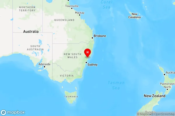
Horseshoe Bend Region Map

Country
Main Region in AU
R3Coordinates
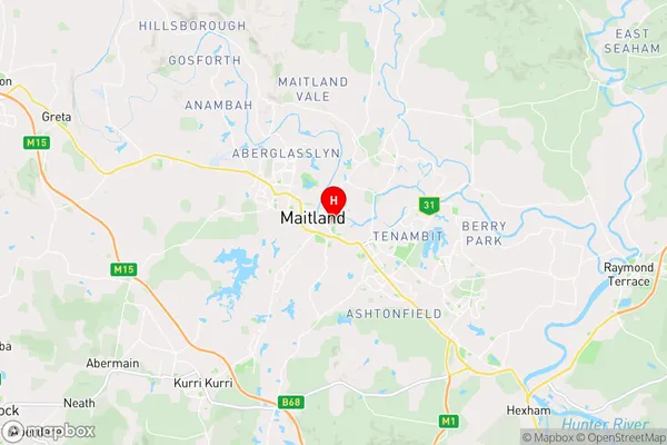
-32.734167,151.563889 (latitude/longitude)Horseshoe Bend Area Map (Street)

Longitude
151.543675Latitude
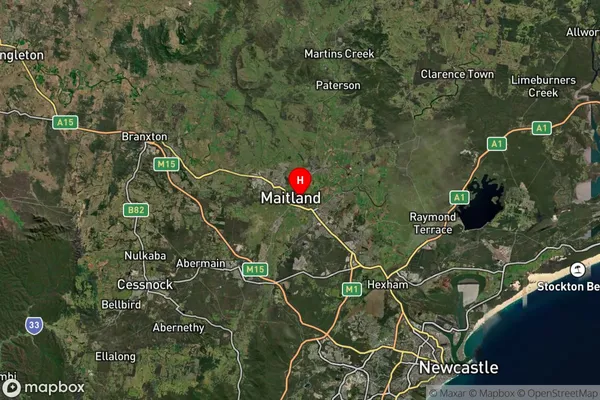
-32.741737Horseshoe Bend Suburb Map (Satellite)

Distances
The distance from Horseshoe Bend, Hunter Valley exc Newcastle, NSW to AU Greater Capital CitiesSA1 Code 2011
10602111408SA1 Code 2016
10602111408SA2 Code
106021114SA3 Code
10602SA4 Code
106RA 2011
1RA 2016
1MMM 2015
1MMM 2019
1Charge Zone
N2LGA Region
MaitlandLGA Code
15050Electorate
Paterson