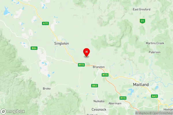
Branxton Greta Pokolbin Suburbs & Region, Branxton Greta Pokolbin Map & Postcodes
Branxton Greta Pokolbin Suburbs & Region, Branxton Greta Pokolbin Map & Postcodes in Branxton Greta Pokolbin, Maitland, Hunter Valley exc Newcastle, NSW, AU
Branxton Greta Pokolbin Region
Region Name
Branxton Greta Pokolbin (NSW, AU)Branxton Greta Pokolbin Area
392.29 square kilometers (392.29 ㎢)Postal Codes
2320, 2321, 2325, 2334, and 2335 (In total, there are 5 postcodes in Branxton Greta Pokolbin.)Australia State
City or Big Region
Greater Capital City
Rest of NSW (1RNSW)District or Regional Area
Suburb Name
Branxton Greta Pokolbin Region Map

Branxton Greta Pokolbin Postcodes / Zip Codes
Branxton Greta Pokolbin Suburbs
Branxton Greta Pokolbin full address
Branxton Greta Pokolbin, Maitland, Hunter Valley exc Newcastle, New South Wales, NSW, Australia, SaCode: 106011107Country
Branxton Greta Pokolbin, Maitland, Hunter Valley exc Newcastle, New South Wales, NSW, Australia, SaCode: 106011107
Branxton Greta Pokolbin Suburbs & Region, Branxton Greta Pokolbin Map & Postcodes has 0 areas or regions above, and there are 15 Branxton Greta Pokolbin suburbs below. The sa2code for the Branxton Greta Pokolbin region is 106011107. Its latitude and longitude coordinates are -32.6229,151.292. Branxton Greta Pokolbin area belongs to Australia's greater capital city Rest of NSW.
Branxton Greta Pokolbin Suburbs & Localities
1. Rothbury
2. Pokolbin
3. Dalwood
4. Leconfield
5. Branxton
6. North Rothbury
7. Allandale
8. Harpers Hill
9. Keinbah
10. Oswald
11. Greta
12. Lower Belford
13. Lovedale
14. Belford
15. East Branxton
