Lower Belford Area, Lower Belford Postcode(2335) & Map in Lower Belford, Hunter Valley exc Newcastle, NSW
Lower Belford Area, Lower Belford Postcode(2335) & Map in Lower Belford, Hunter Valley exc Newcastle, NSW, AU, Postcode: 2335
Lower Belford, Branxton - Greta - Pokolbin, Lower Hunter, Hunter Valley exc Newcastle, New South Wales, Australia, 2335
Lower Belford Postcode
Area Name
Lower BelfordLower Belford Suburb Area Map (Polygon)

Lower Belford Introduction
Lower Belford is a small village located in the Hunter Valley region of New South Wales, Australia. It is situated between the towns of Maitland and Newcastle and is known for its scenic beauty and relaxed atmosphere. The village has a population of around 1,000 people and is surrounded by lush vineyards and rolling hills. Lower Belford is a popular destination for tourists who enjoy wine tasting, hiking, and exploring the local countryside.State Name
City or Big Region
District or Regional Area
Suburb Name
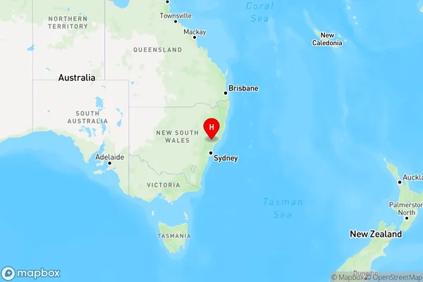
Lower Belford Region Map
Country
Main Region in AU
R3Coordinates
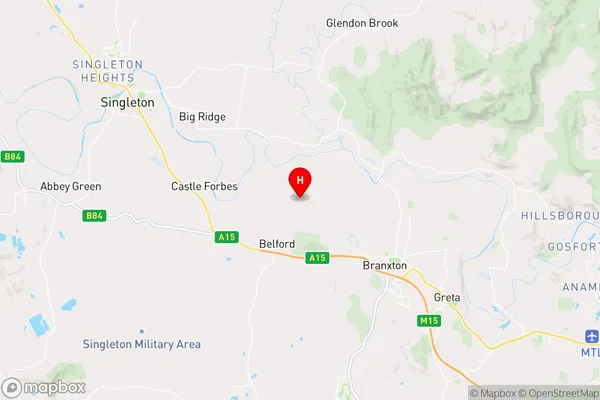
-32.6229418,151.2918618 (latitude/longitude)Lower Belford Area Map (Street)
Longitude
151.319414Latitude
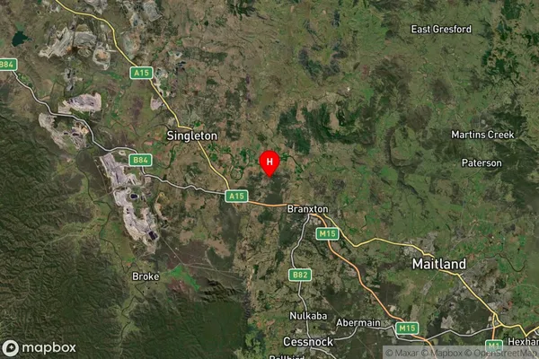
-32.642118Lower Belford Suburb Map (Satellite)
Distances
The distance from Lower Belford, Hunter Valley exc Newcastle, NSW to AU Greater Capital CitiesSA1 Code 2011
10601110704SA1 Code 2016
10601110704SA2 Code
106011107SA3 Code
10601SA4 Code
106RA 2011
2RA 2016
2MMM 2015
5MMM 2019
5Charge Zone
N2LGA Region
MaitlandLGA Code
15050Electorate
Lyne