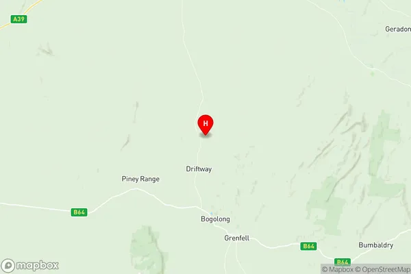
Grenfell Suburbs & Region, Grenfell Map & Postcodes
Grenfell Suburbs & Region, Grenfell Map & Postcodes in Grenfell, Lachlan Valley, Central West, NSW, AU
Grenfell Region
Region Name
Grenfell (NSW, AU)Grenfell Area
3294 square kilometers (3,294 ㎢)Postal Codes
2809, and 2810 (In total, there are 2 postcodes in Grenfell.)Grenfell Introduction
Grenfell is a small town in the Central West region of New South Wales, Australia. It is located in the Macquarie River valley and is known for its historic buildings and scenic surroundings. The town has a population of around 2,000 people and is surrounded by farmland and forests. Grenfell is home to a variety of businesses and services, including a supermarket, hotel, and medical center. The town is also a popular tourist destination, with many visitors coming to explore the historic buildings and scenic landscapes.Australia State
City or Big Region
Greater Capital City
Rest of NSW (1RNSW)District or Regional Area
Suburb Name
Grenfell Region Map

Grenfell Postcodes / Zip Codes
Grenfell Suburbs
Grenfell full address
Grenfell, Lachlan Valley, Central West, New South Wales, NSW, Australia, SaCode: 103021066Country
Grenfell, Lachlan Valley, Central West, New South Wales, NSW, Australia, SaCode: 103021066
Grenfell Suburbs & Region, Grenfell Map & Postcodes has 0 areas or regions above, and there are 9 Grenfell suburbs below. The sa2code for the Grenfell region is 103021066. Its latitude and longitude coordinates are -33.7285,148.098. Grenfell area belongs to Australia's greater capital city Rest of NSW.
Grenfell Suburbs & Localities
1. Pinnacle
2. Pullabooka
3. Greenethorpe
4. Bimbi
5. Caragabal
6. Glenelg
7. Warraderry
8. Grenfell
9. Piney Range
