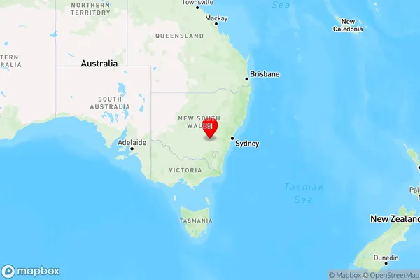
Greenethorpe Area, Greenethorpe Postcode(2809) & Map in Greenethorpe, Central West, NSW
Greenethorpe Area, Greenethorpe Postcode(2809) & Map in Greenethorpe, Central West, NSW, AU, Postcode: 2809
Greenethorpe, Grenfell, Lachlan Valley, Central West, New South Wales, Australia, 2809
Greenethorpe Postcode
Area Name
GreenethorpeGreenethorpe Suburb Area Map (Polygon)

Greenethorpe Introduction
Greenethorpe is a suburb in the City of Blacktown of the state of New South Wales, Australia. It is located 26 kilometers west of Sydney's central business district. Greenethorpe railway station is located on the Main Western line. The suburb was named after a property owned by John Green, who was a convict transported to Australia in 1818.State Name
City or Big Region
District or Regional Area
Suburb Name
Greenethorpe Region Map

Country
Main Region in AU
R3Coordinates
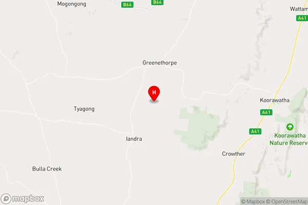
-34.0414059,148.3945107 (latitude/longitude)Greenethorpe Area Map (Street)

Longitude
148.432316Latitude
-33.972859Greenethorpe Elevation
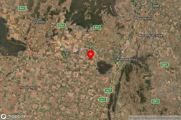
about 414.79 meters height above sea level (Altitude)Greenethorpe Suburb Map (Satellite)

Distances
The distance from Greenethorpe, Central West, NSW to AU Greater Capital CitiesSA1 Code 2011
10302106610SA1 Code 2016
10302106610SA2 Code
103021066SA3 Code
10302SA4 Code
103RA 2011
3RA 2016
3MMM 2015
5MMM 2019
5Charge Zone
N2LGA Region
CowraLGA Code
12350Electorate
Riverina