Woodridge Area, Woodridge Postcode(6041) & Map in Woodridge, Western Australia - Wheat Belt, WA
Woodridge Area, Woodridge Postcode(6041) & Map in Woodridge, Western Australia - Wheat Belt, WA, AU, Postcode: 6041
Woodridge, Gingin - Dandaragan, Wheat Belt - North, Western Australia - Wheat Belt, Western Australia, Australia, 6041
Woodridge Postcode
Area Name
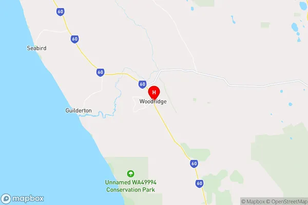
WoodridgeWoodridge Suburb Area Map (Polygon)

Woodridge Introduction
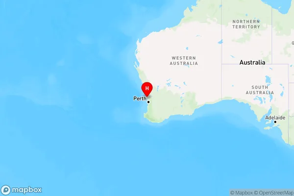
Woodridge is a town in the Wheat Belt region of Western Australia, Australia. It is located 232 km southeast of Perth and 10 km east of the town of Merredin. The town is named after the nearby Woodridge Station, which was established in 1889. Woodridge has a population of approximately 1,000 people and is a major agricultural center, with wheat, barley, and canola being the main crops grown. The town also has a school, a hospital, and a number of shops and businesses.State Name
City or Big Region
District or Regional Area
Suburb Name
Woodridge Region Map
Country
Main Region in AU
R3Coordinates
-31.3369602,115.5997274 (latitude/longitude)Woodridge Area Map (Street)
Longitude
115.568551Latitude
-31.379673Woodridge Elevation
about 45.96 meters height above sea level (Altitude)Woodridge Suburb Map (Satellite)

Distances
The distance from Woodridge, Western Australia - Wheat Belt, WA to AU Greater Capital CitiesSA1 Code 2011
50902123905SA1 Code 2016
50902123905SA2 Code
509021239SA3 Code
50902SA4 Code
509RA 2011
2RA 2016
2MMM 2015
5MMM 2019
5Charge Zone
W1LGA Region
GinginLGA Code
53570Electorate
Pearce