ZipCode 6041 Areas, AU PostCode 6041 Suburbs
Postcode 6041 Suburbs, ZipCode 6041 Areas & Regions in Wheat Belt - North,WA Australia
There are at least 5 AU suburbs share the same AU PostCode 6041 Suburbs in Wheat Belt - North.
Postal Code 6041 Regions
The Australia postcode 6041 regions include Gingin - Dandaragan in the areas of Wheat Belt - North, Gingin - Dandaragan, These postcode areas are all located in the state Western Australia, WA.
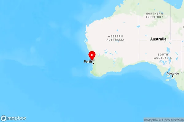
ZipCode 6041 Areas Map for Gingin - Dandaragan

AU PostCode 6041 Suburbs
AU PostCode 6041 suburbs contain Gabbadah, Guilderton, Wilbinga, Caraban, Woodridge, you can check the below link to see the 5 suburbs detailed information.
AU PostCode 6041 Suburbs Map
ZipCode 6041 Areas
1. Gabbadah
2. Guilderton
3. Wilbinga
4. Caraban
5. Woodridge