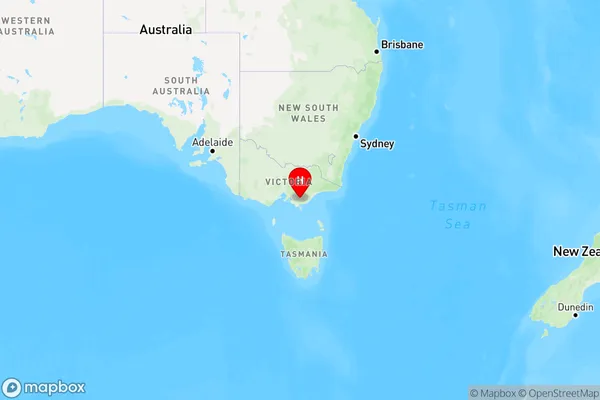
Johnstones Hill Area, Johnstones Hill Postcode(3870) & Map in Johnstones Hill, Latrobe - Gippsland, VIC
Johnstones Hill Area, Johnstones Hill Postcode(3870) & Map in Johnstones Hill, Latrobe - Gippsland, VIC, AU, Postcode: 3870
Johnstones Hill, Churchill, Latrobe Valley, Latrobe - Gippsland, Victoria, Australia, 3870
Johnstones Hill Postcode
Area Name
Johnstones HillJohnstones Hill Suburb Area Map (Polygon)

Johnstones Hill Introduction
Johnstones Hill is a locality in the Gippsland region of Victoria, Australia. It is located in the Latrobe City local government area and is named after the Johnstones Hill railway station. The post office opened as Johnstone Hill on 1 October 1891 and was closed on 1 March 1974.State Name
City or Big Region
District or Regional Area
Suburb Name
Johnstones Hill Region Map

Country
Main Region in AU
R3Coordinates
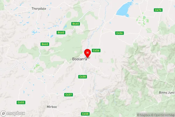
-38.3804,146.291 (latitude/longitude)Johnstones Hill Area Map (Street)

Longitude
146.319351Latitude
-38.437946Johnstones Hill Elevation
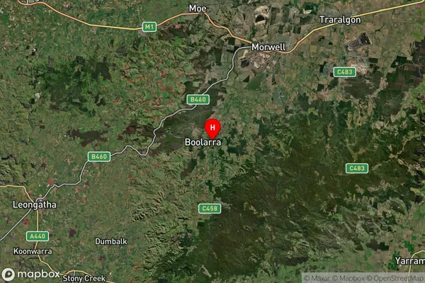
about 219.88 meters height above sea level (Altitude)Johnstones Hill Suburb Map (Satellite)

Distances
The distance from Johnstones Hill, Latrobe - Gippsland, VIC to AU Greater Capital CitiesSA1 Code 2011
20504109415SA1 Code 2016
20504109415SA2 Code
205041094SA3 Code
20504SA4 Code
205RA 2011
2RA 2016
2MMM 2015
5MMM 2019
5Charge Zone
V2LGA Region
LatrobeLGA Code
23810Electorate
Gippsland