Sunderland Bay Area, Sunderland Bay Postcode(3922) & Map in Sunderland Bay, Latrobe - Gippsland, VIC
Sunderland Bay Area, Sunderland Bay Postcode(3922) & Map in Sunderland Bay, Latrobe - Gippsland, VIC, AU, Postcode: 3922
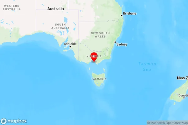
Sunderland Bay, Phillip Island, Gippsland - South West, Latrobe - Gippsland, Victoria, Australia, 3922
Sunderland Bay Postcode
Area Name
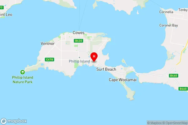
Sunderland BaySunderland Bay Suburb Area Map (Polygon)

Sunderland Bay Introduction
Sunderland Bay is a coastal town in Latrobe, Gippsland, Victoria, Australia, known for its scenic beauty, fishing, and surfing. It is located on the eastern shore of the bay, which is part of the Gippsland Lakes system.State Name
City or Big Region
District or Regional Area
Suburb Name
Sunderland Bay Region Map
Country
Main Region in AU
R3Coordinates
-38.5016289,145.272887 (latitude/longitude)Sunderland Bay Area Map (Street)
Longitude
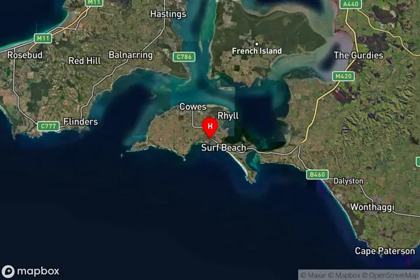
145.231974Latitude
-38.482182Sunderland Bay Suburb Map (Satellite)
Distances
The distance from Sunderland Bay, Latrobe - Gippsland, VIC to AU Greater Capital CitiesSA1 Code 2011
20503109114SA1 Code 2016
20503109114SA2 Code
205031091SA3 Code
20503SA4 Code
205RA 2011
2RA 2016
2MMM 2015
5MMM 2019
4Charge Zone
V2LGA Region
Mornington PeninsulaLGA Code
25340Electorate
Monash