French Island Area, French Island Postcode(3921) & Map in French Island, Latrobe - Gippsland, VIC
French Island Area, French Island Postcode(3921) & Map in French Island, Latrobe - Gippsland, VIC, AU, Postcode: 3921
French Island, French Island, Gippsland - South West, Latrobe - Gippsland, Victoria, Australia, 3921
French Island Postcode
Area Name
French IslandFrench Island Suburb Area Map (Polygon)

French Island Introduction
French Island is a small island located in the Gippsland region of Victoria, Australia. It is known for its natural beauty, including beaches, forests, and wildlife. The island is accessible by ferry from the town of San Remo.State Name
City or Big Region
District or Regional Area
Suburb Name
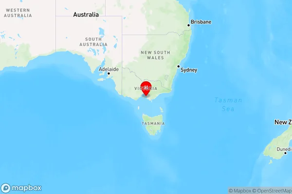
French Island Region Map
Country
Main Region in AU
R3Coordinates
-38.3489348,145.3364703 (latitude/longitude)French Island Area Map (Street)
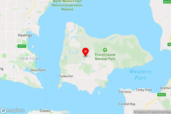
Longitude
145.367079Latitude
-38.4194880French Island Suburb Map (Satellite)
Not available for nowDistances
The distance from French Island, Latrobe - Gippsland, VIC to AU Greater Capital CitiesSA1 Code 2011
20503108801SA1 Code 2016
20503108801SA2 Code
205031088SA3 Code
20503SA4 Code
205RA 2011
3RA 2016
3MMM 2015
5MMM 2019
6Charge Zone
V2LGA Region
Bass CoastLGA Code
20740Electorate
Flinders