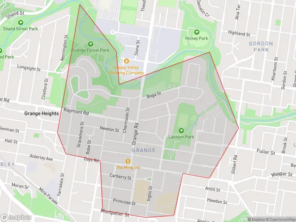
Grange Area, Grange Postcode(4051) & Map in Grange, Brisbane Inner City, QLD
Grange Area, Grange Postcode(4051) & Map in Grange, Brisbane Inner City, QLD, AU, Postcode: 4051
Grange, Grange, Brisbane Inner - North, Brisbane Inner City, Queensland, Australia, 4051
Grange Postcode
Area Name
GrangeGrange Suburb Area Map (Polygon)

Grange Introduction
Grange is a suburb in the inner city of Brisbane, Queensland, Australia. It is located 4 kilometers northwest of the Brisbane CBD and is bordered by the suburbs of New Farm, Teneriffe, and Fortitude Valley. The suburb has a rich history and is known for its historic homes and buildings. It is also home to a variety of cultural institutions, including the Queensland Art Gallery and the State Library of Queensland.State Name
City or Big Region
District or Regional Area
Suburb Name
Grange Region Map

Country
Main Region in AU
R1Coordinates
-27.423,153.015 (latitude/longitude)Grange Area Map (Street)

Longitude
153.000297Latitude
-27.427508Grange Suburb Map (Satellite)

Distances
The distance from Grange, Brisbane Inner City, QLD to AU Greater Capital CitiesSA1 Code 2011
30503112308SA1 Code 2016
30503112308SA2 Code
305031123SA3 Code
30503SA4 Code
305RA 2011
1RA 2016
1MMM 2015
1MMM 2019
1Charge Zone
Q1LGA Region
BrisbaneLGA Code
31000Electorate
Ryan