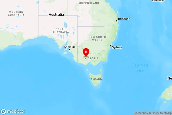
Dunluce Area, Dunluce Postcode(3472) & Map in Dunluce, Ballarat, VIC
Dunluce Area, Dunluce Postcode(3472) & Map in Dunluce, Ballarat, VIC, AU, Postcode: 3472
Dunluce, Maryborough Region, Maryborough - Pyrenees, Ballarat, Victoria, Australia, 3472
Dunluce Postcode
Area Name
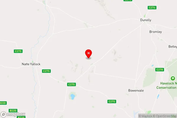
DunluceDunluce Suburb Area Map (Polygon)

Dunluce Introduction
Dunluce is a historic house located in Ballarat, Victoria, Australia. It was built in the 1850s and is a significant example of Gothic Revival architecture. The house is named after the Dunluce Castle in Northern Ireland, and it was built by John Batman, who was a wealthy businessman and politician. The house features a grand hall, a library, a dining room, and several bedrooms. It is also known for its beautiful gardens and its stunning views of the surrounding countryside.State Name
City or Big Region
District or Regional Area
Suburb Name
Dunluce Region Map

Country
Main Region in AU
R3Coordinates
-36.9316623,143.600774 (latitude/longitude)Dunluce Area Map (Street)

Longitude
143.657638Latitude
-36.864952Dunluce Elevation
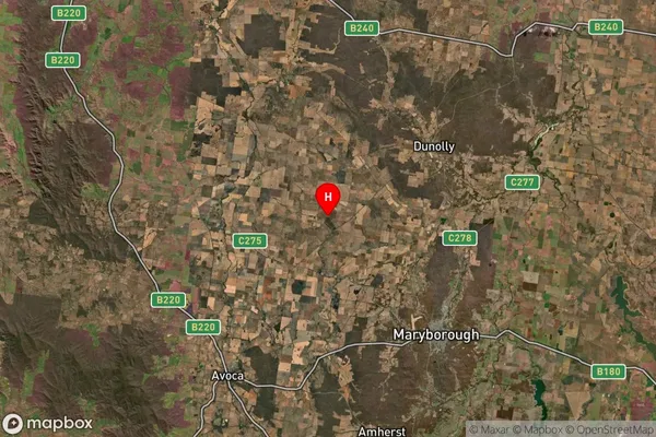
about 224.06 meters height above sea level (Altitude)Dunluce Suburb Map (Satellite)

Distances
The distance from Dunluce, Ballarat, VIC to AU Greater Capital CitiesSA1 Code 2011
20103101704SA1 Code 2016
20103101704SA2 Code
201031017SA3 Code
20103SA4 Code
201RA 2011
2RA 2016
2MMM 2015
5MMM 2019
5Charge Zone
V2LGA Region
Central GoldfieldsLGA Code
21670Electorate
Mallee