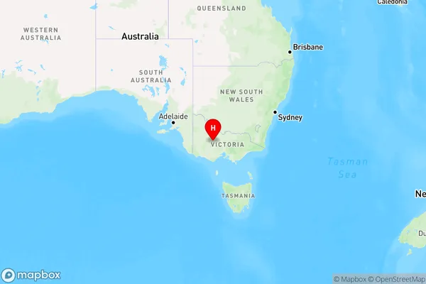
Archdale Junction Area, Archdale Junction Postcode(3475) & Map in Archdale Junction, Ballarat, VIC
Archdale Junction Area, Archdale Junction Postcode(3475) & Map in Archdale Junction, Ballarat, VIC, AU, Postcode: 3475
Archdale Junction, Maryborough Region, Maryborough - Pyrenees, Ballarat, Victoria, Australia, 3475
Archdale Junction Postcode
Area Name
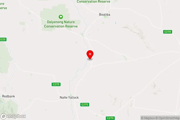
Archdale JunctionArchdale Junction Suburb Area Map (Polygon)

Archdale Junction Introduction
Archdale Junction is a railway station located in Ballarat, Victoria, Australia. It is located on the Western Line and serves the local community. The station was opened in 1889 and is considered a significant landmark in the city's history. It is currently served by Metro Trains' Ballarat line.State Name
City or Big Region
District or Regional Area
Suburb Name
Archdale Junction Region Map

Country
Main Region in AU
R3Coordinates
-36.8725115,143.5147379 (latitude/longitude)Archdale Junction Area Map (Street)

Longitude
143.51213Latitude
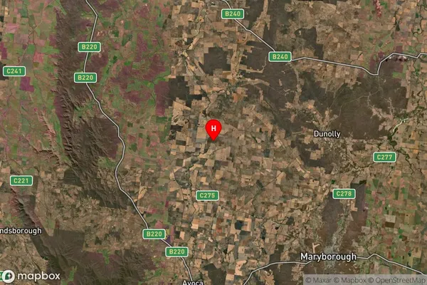
-36.70633Archdale Junction Suburb Map (Satellite)

Distances
The distance from Archdale Junction, Ballarat, VIC to AU Greater Capital CitiesSA1 Code 2011
20103101704SA1 Code 2016
20103101704SA2 Code
201031017SA3 Code
20103SA4 Code
201RA 2011
2RA 2016
2MMM 2015
5MMM 2019
5Charge Zone
V2LGA Region
Central GoldfieldsLGA Code
21670Electorate
Mallee