Narrung Area, Narrung Postcode(3597) & Map in Narrung, North West, VIC
Narrung Area, Narrung Postcode(3597) & Map in Narrung, North West, VIC, AU, Postcode: 3597
Narrung, Swan Hill Region, Murray River - Swan Hill, North West, Victoria, Australia, 3597
Narrung Postcode
Area Name
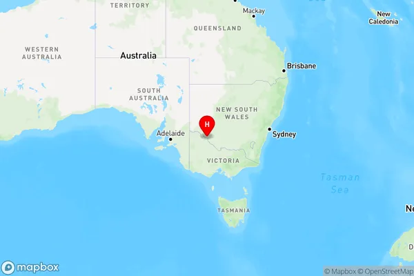
NarrungNarrung Suburb Area Map (Polygon)

Narrung Introduction
Narrung is a small town in North West Victoria, Australia. It is located in the Shire of Buloke, 267 kilometers north-west of Melbourne, and 12 kilometers south-east of the township of Winton. The town is named after the Narrung River, which flows through it. The Narrung River is a tributary of the Murray River. The town has a population of around 1,000 people. The primary industry in the town is agriculture, with wheat, sheep, and cattle being the main crops. The town also has a small tourism industry, with visitors coming to see the historic Narrung railway station and the nearby Winton Wetlands.State Name
City or Big Region
District or Regional Area
Suburb Name
Narrung Region Map

Country
Main Region in AU
R3Coordinates
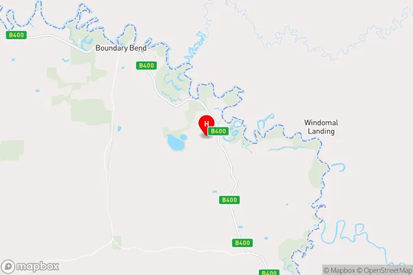
-34.790356,143.2365866 (latitude/longitude)Narrung Area Map (Street)

Longitude
143.189786Latitude
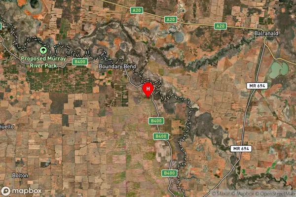
-34.965359Narrung Suburb Map (Satellite)

Distances
The distance from Narrung, North West, VIC to AU Greater Capital CitiesSA1 Code 2011
21503140508SA1 Code 2016
21503140508SA2 Code
215031405SA3 Code
21503SA4 Code
215RA 2011
3RA 2016
3MMM 2015
5MMM 2019
5Charge Zone
V2LGA Region
Swan HillLGA Code
26610Electorate
Mallee