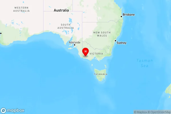
Byaduk Area, Byaduk Postcode(3301) & Map in Byaduk, Warrnambool and South West, VIC
Byaduk Area, Byaduk Postcode(3301) & Map in Byaduk, Warrnambool and South West, VIC, AU, Postcode: 3301
Byaduk, Southern Grampians, Glenelg - Southern Grampians, Warrnambool and South West, Victoria, Australia, 3301
Byaduk Postcode
Area Name
ByadukByaduk Suburb Area Map (Polygon)

Byaduk Introduction
Byaduk is a small township in the Western District of Victoria, Australia. It is located in the Shire of Buloke, 125 km north-west of Melbourne. The post office opened as Byaduk on 1 August 1892 and was closed on 1 March 1974. The town is named after the local Byaduk Creek, which flows into the Hopkins River.State Name
City or Big Region
District or Regional Area
Suburb Name
Byaduk Region Map

Country
Main Region in AU
R3Coordinates
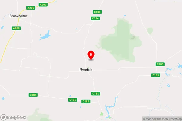
-37.935171,141.9652923 (latitude/longitude)Byaduk Area Map (Street)

Longitude
142.034141Latitude
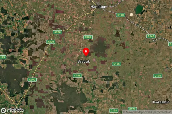
-38.118855Byaduk Suburb Map (Satellite)

Distances
The distance from Byaduk, Warrnambool and South West, VIC to AU Greater Capital CitiesSA1 Code 2011
21701142317SA1 Code 2016
21701142317SA2 Code
217011423SA3 Code
21701SA4 Code
217RA 2011
3RA 2016
3MMM 2015
5MMM 2019
5Charge Zone
V2LGA Region
MoyneLGA Code
25490Electorate
Wannon