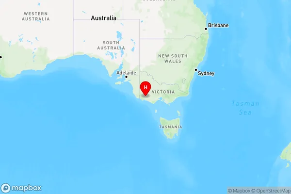
Buckley Swamp Area, Buckley Swamp Postcode(3301) & Map in Buckley Swamp, Warrnambool and South West, VIC
Buckley Swamp Area, Buckley Swamp Postcode(3301) & Map in Buckley Swamp, Warrnambool and South West, VIC, AU, Postcode: 3301
Buckley Swamp, Southern Grampians, Glenelg - Southern Grampians, Warrnambool and South West, Victoria, Australia, 3301
Buckley Swamp Postcode
Area Name
Buckley SwampBuckley Swamp Suburb Area Map (Polygon)

Buckley Swamp Introduction
Buckley Swamp is a wetland area located in the Warrnambool and South West region of Victoria, Australia. It is a significant site for waterbirds and other wildlife, and it plays an important role in maintaining the region's ecological balance. The swamp is home to a variety of plant and animal species, including the endangered Eastern Long-beaked Echidna. The area is also popular with birdwatchers and nature enthusiasts.State Name
City or Big Region
District or Regional Area
Suburb Name
Buckley Swamp Region Map

Country
Main Region in AU
R3Coordinates
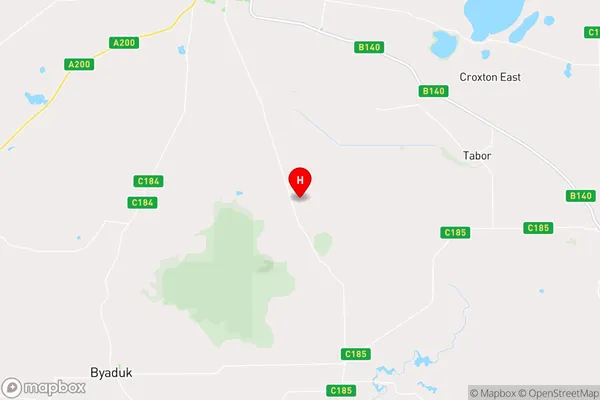
-37.8582975,142.0834692 (latitude/longitude)Buckley Swamp Area Map (Street)

Longitude
142.034141Latitude
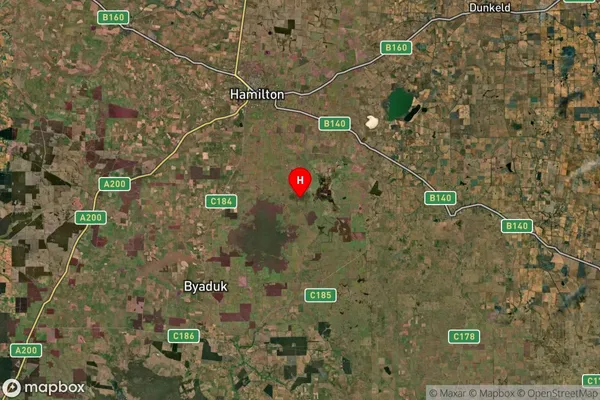
-38.118855Buckley Swamp Suburb Map (Satellite)

Distances
The distance from Buckley Swamp, Warrnambool and South West, VIC to AU Greater Capital CitiesSA1 Code 2011
21701142317SA1 Code 2016
21701142317SA2 Code
217011423SA3 Code
21701SA4 Code
217RA 2011
3RA 2016
3MMM 2015
5MMM 2019
5Charge Zone
V2LGA Region
MoyneLGA Code
25490Electorate
Wannon