Trawalla Area, Trawalla Postcode(3373) & Map in Trawalla, Ballarat, VIC
Trawalla Area, Trawalla Postcode(3373) & Map in Trawalla, Ballarat, VIC, AU, Postcode: 3373
Trawalla, Beaufort, Maryborough - Pyrenees, Ballarat, Victoria, Australia, 3373
Trawalla Postcode
Area Name
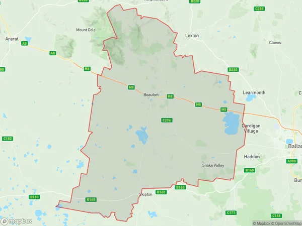
TrawallaTrawalla Suburb Area Map (Polygon)

Trawalla Introduction
Trawalla is a locality in the City of Ballarat, Victoria, Australia. It is located in the western suburbs of Ballarat, approximately 6 km from the city center. Trawalla is known for its historic gold mining heritage and its picturesque rural setting. It is home to a number of historic buildings, including the Trawalla Post Office and the Trawalla Hotel. The area also has a number of parks and recreational facilities, including the Trawalla Nature Reserve and the Trawalla Golf Club.State Name
City or Big Region
District or Regional Area
Suburb Name
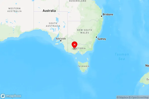
Trawalla Region Map

Country
Main Region in AU
R3Coordinates
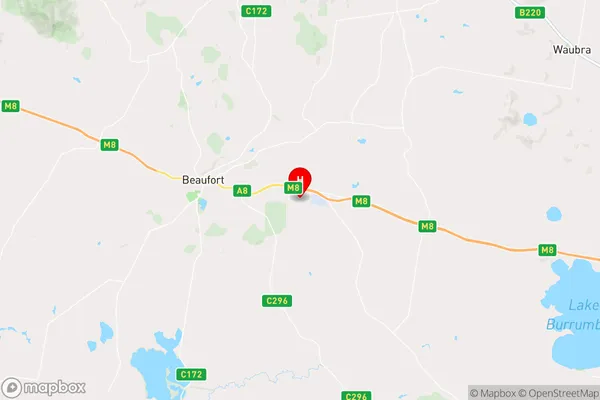
-37.4402267,143.4498966 (latitude/longitude)Trawalla Area Map (Street)

Longitude
143.343429Latitude
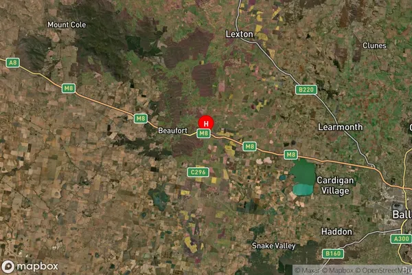
-37.457785Trawalla Suburb Map (Satellite)

Distances
The distance from Trawalla, Ballarat, VIC to AU Greater Capital CitiesSA1 Code 2011
20103101406SA1 Code 2016
20103101406SA2 Code
201031014SA3 Code
20103SA4 Code
201RA 2011
2RA 2016
2MMM 2015
5MMM 2019
5Charge Zone
V2LGA Region
PyreneesLGA Code
25990Electorate
Wannon