Stockyard Hill Area, Stockyard Hill Postcode(3373) & Map in Stockyard Hill, Ballarat, VIC
Stockyard Hill Area, Stockyard Hill Postcode(3373) & Map in Stockyard Hill, Ballarat, VIC, AU, Postcode: 3373
Stockyard Hill, Beaufort, Maryborough - Pyrenees, Ballarat, Victoria, Australia, 3373
Stockyard Hill Postcode
Area Name
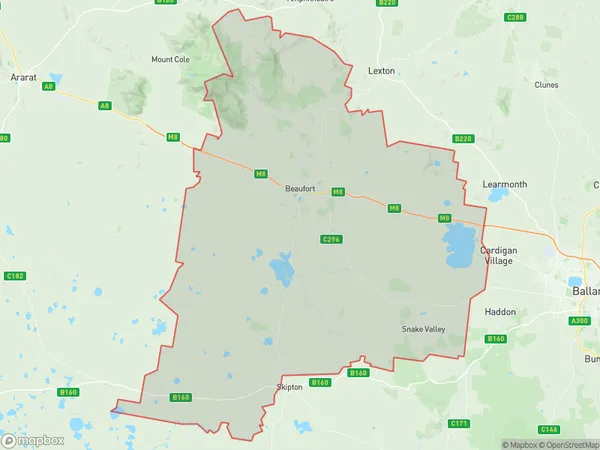
Stockyard HillStockyard Hill Suburb Area Map (Polygon)

Stockyard Hill Introduction
Stockyard Hill is a historic site in Ballarat, Victoria, Australia, that was the location of a stockyard and slaughterhouse during the gold rush period in the 1850s. It is now a popular tourist attraction with a museum, interpretive center, and walking trails that provide insights into the city's colonial history and its role in the gold industry.State Name
City or Big Region
District or Regional Area
Suburb Name
Stockyard Hill Region Map

Country
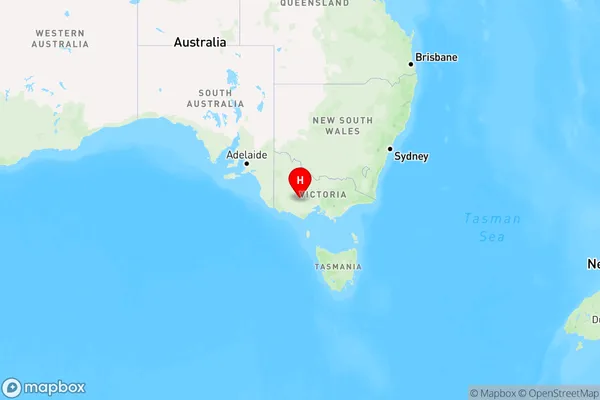
Main Region in AU
R3Coordinates
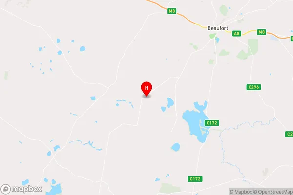
-37.5068227,143.2833857 (latitude/longitude)Stockyard Hill Area Map (Street)

Longitude
143.343429Latitude
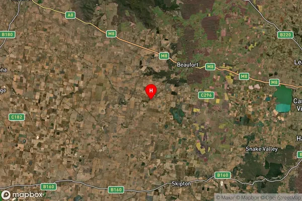
-37.457785Stockyard Hill Suburb Map (Satellite)

Distances
The distance from Stockyard Hill, Ballarat, VIC to AU Greater Capital CitiesSA1 Code 2011
20103101405SA1 Code 2016
20103101405SA2 Code
201031014SA3 Code
20103SA4 Code
201RA 2011
2RA 2016
2MMM 2015
5MMM 2019
5Charge Zone
V2LGA Region
PyreneesLGA Code
25990Electorate
Wannon