Upper Daradgee Area, Upper Daradgee Postcode(4860) & Map in Upper Daradgee, Cairns, QLD
Upper Daradgee Area, Upper Daradgee Postcode(4860) & Map in Upper Daradgee, Cairns, QLD, AU, Postcode: 4860
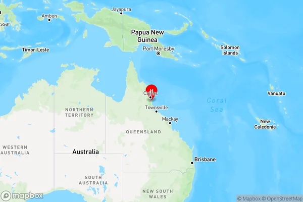
Upper Daradgee, Babinda, Innisfail - Cassowary Coast, Cairns, Queensland, Australia, 4860
Upper Daradgee Postcode
Area Name
Upper DaradgeeUpper Daradgee Suburb Area Map (Polygon)

Upper Daradgee Introduction
Upper Daradgee is a suburb of Cairns, Queensland, Australia, located 16 kilometers north of the city center. It is known for its natural beauty, including the nearby Barron Gorge National Park and the Cairns Highlands. The suburb has a population of approximately 9,000 people and is home to a variety of businesses and amenities, including a shopping center, schools, and a hospital.State Name
City or Big Region
District or Regional Area
Suburb Name
Upper Daradgee Region Map
Country
Main Region in AU
R3Coordinates
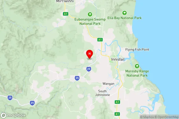
-17.5246641,145.9657939 (latitude/longitude)Upper Daradgee Area Map (Street)
Longitude
145.888782Latitude
-17.520343Upper Daradgee Elevation
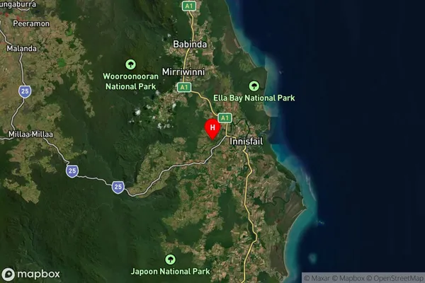
about 97.51 meters height above sea level (Altitude)Upper Daradgee Suburb Map (Satellite)
Distances
The distance from Upper Daradgee, Cairns, QLD to AU Greater Capital CitiesSA1 Code 2011
30603115809SA1 Code 2016
30603115809SA2 Code
306031158SA3 Code
30603SA4 Code
306RA 2011
3RA 2016
3MMM 2015
5MMM 2019
5Charge Zone
Q4LGA Region
CairnsLGA Code
32080Electorate
Kennedy