Anderleigh Area, Anderleigh Postcode(4570) & Map in Anderleigh, Wide Bay, QLD
Anderleigh Area, Anderleigh Postcode(4570) & Map in Anderleigh, Wide Bay, QLD, AU, Postcode: 4570
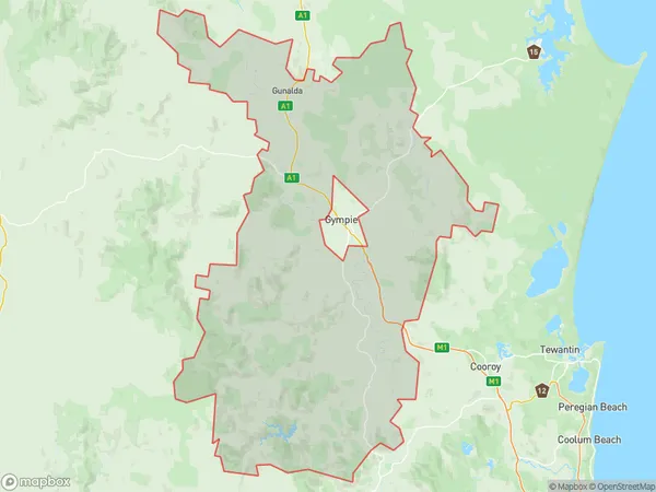
Anderleigh, Gympie Region, Gympie - Cooloola, Wide Bay, Queensland, Australia, 4570
Anderleigh Postcode
Area Name
AnderleighAnderleigh Suburb Area Map (Polygon)
Anderleigh Introduction
Anderleigh is a small town located in the Wide Bay region of Queensland, Australia. It is known for its agricultural industry, particularly the production of sugarcane and cattle. The town has a population of around 1,000 people and is situated on the banks of the Burnett River. Anderleigh has a number of historical buildings, including a church and a school, and is a popular destination for tourists who enjoy fishing, boating, and hiking.State Name
City or Big Region
District or Regional Area
Suburb Name
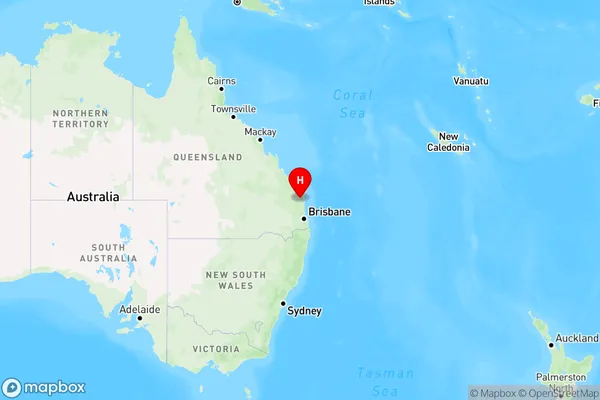
Anderleigh Region Map
Country
Main Region in AU
R3Coordinates
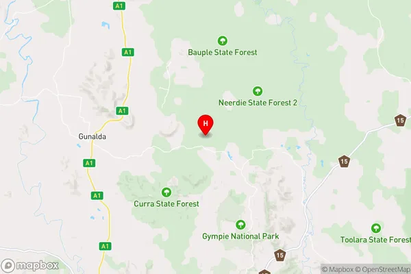
-25.9897,152.6802627 (latitude/longitude)Anderleigh Area Map (Street)
Longitude
152.616943Latitude
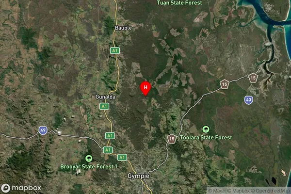
-26.153831Anderleigh Suburb Map (Satellite)
Distances
The distance from Anderleigh, Wide Bay, QLD to AU Greater Capital CitiesSA1 Code 2011
31903151451SA1 Code 2016
31903151451SA2 Code
319031514SA3 Code
31903SA4 Code
319RA 2011
2RA 2016
2MMM 2015
5MMM 2019
5Charge Zone
Q2LGA Region
GympieLGA Code
33620Electorate
Longman