Melawondi Area, Melawondi Postcode(4570) & Map in Melawondi, Wide Bay, QLD
Melawondi Area, Melawondi Postcode(4570) & Map in Melawondi, Wide Bay, QLD, AU, Postcode: 4570
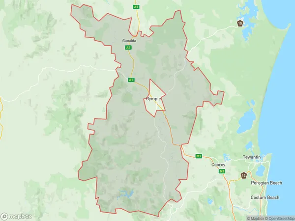
Melawondi, Gympie Region, Gympie - Cooloola, Wide Bay, Queensland, Australia, 4570
Melawondi Postcode
Area Name
MelawondiMelawondi Suburb Area Map (Polygon)
Melawondi Introduction
Melawondi is a small town located in the Wide Bay region of Queensland, Australia. It is known for its scenic beauty, including the nearby Melawondi Dam and the surrounding national parks. The town has a population of around 1,000 people and is a popular destination for fishing, camping, and hiking.State Name
City or Big Region
District or Regional Area
Suburb Name
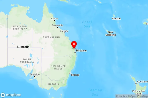
Melawondi Region Map
Country
Main Region in AU
R3Coordinates
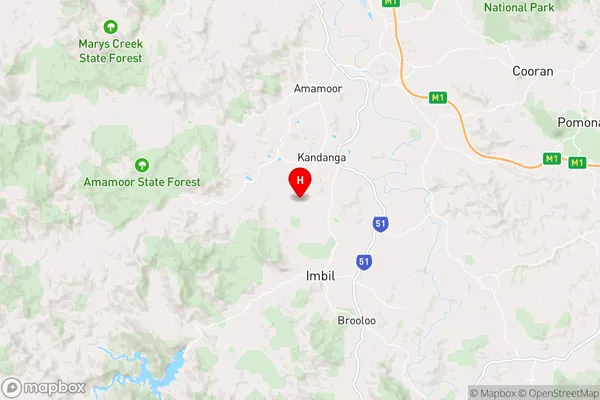
-26.413889,152.662222 (latitude/longitude)Melawondi Area Map (Street)
Longitude
152.616943Latitude
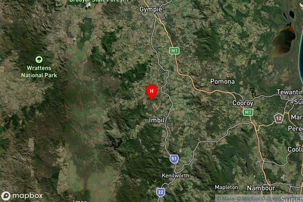
-26.153831Melawondi Suburb Map (Satellite)
Distances
The distance from Melawondi, Wide Bay, QLD to AU Greater Capital CitiesSA1 Code 2011
31903151408SA1 Code 2016
31903151408SA2 Code
319031514SA3 Code
31903SA4 Code
319RA 2011
2RA 2016
2MMM 2015
5MMM 2019
5Charge Zone
Q2LGA Region
GympieLGA Code
33620Electorate
Longman