Coal Creek Area, Coal Creek Postcode(4312) & Map in Coal Creek, Ipswich, QLD
Coal Creek Area, Coal Creek Postcode(4312) & Map in Coal Creek, Ipswich, QLD, AU, Postcode: 4312
Coal Creek, Esk, Ipswich Hinterland, Ipswich, Queensland, Australia, 4312
Coal Creek Postcode
Area Name
Coal CreekCoal Creek Suburb Area Map (Polygon)

Coal Creek Introduction
Coal Creek is a suburb of Ipswich, Queensland, Australia, located 40 kilometers from Brisbane. It is known for its coal mining and has a population of approximately 10,000 people. The suburb has a number of parks and recreational facilities, including a golf course and a swimming pool.State Name
City or Big Region
District or Regional Area
Suburb Name
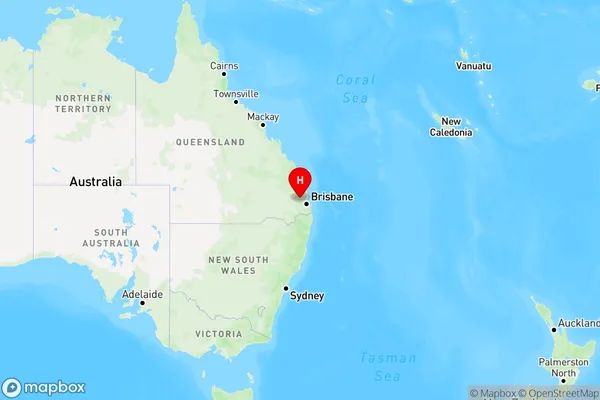
Coal Creek Region Map
Country
Main Region in AU
R3Coordinates
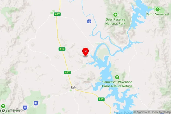
-27.1748538,152.4511245 (latitude/longitude)Coal Creek Area Map (Street)
Longitude
152.482636Latitude
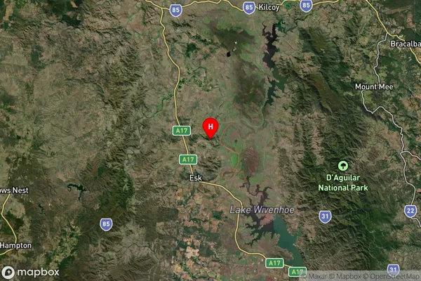
-27.256065Coal Creek Suburb Map (Satellite)
Distances
The distance from Coal Creek, Ipswich, QLD to AU Greater Capital CitiesSA1 Code 2011
31002127812SA1 Code 2016
31002127812SA2 Code
310021278SA3 Code
31002SA4 Code
310RA 2011
2RA 2016
2MMM 2015
5MMM 2019
5Charge Zone
Q2LGA Region
SomersetLGA Code
36580Electorate
Blair