Glamorgan Vale Area, Glamorgan Vale Postcode(4306) & Map in Glamorgan Vale, Ipswich, QLD
Glamorgan Vale Area, Glamorgan Vale Postcode(4306) & Map in Glamorgan Vale, Ipswich, QLD, AU, Postcode: 4306
Glamorgan Vale, Lowood, Ipswich Hinterland, Ipswich, Queensland, Australia, 4306
Glamorgan Vale Postcode
Area Name
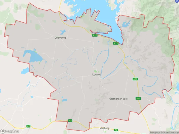
Glamorgan ValeGlamorgan Vale Suburb Area Map (Polygon)
Glamorgan Vale Introduction
Glamorgan Vale is a suburb of Ipswich, Queensland, Australia, located 40 kilometers from Brisbane. It has a population of approximately 10,000 people and is known for its rural atmosphere and scenic surroundings. The suburb is home to several parks and reserves, including the Glamorgan Vale Conservation Park and the Ipswich Nature Reserve.State Name
City or Big Region
District or Regional Area
Suburb Name
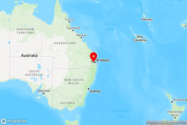
Glamorgan Vale Region Map
Country
Main Region in AU
R3Coordinates
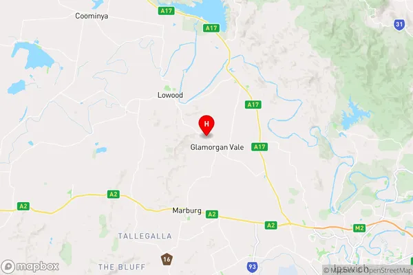
-27.5,152.616667 (latitude/longitude)Glamorgan Vale Area Map (Street)
Longitude
152.725408Latitude
-27.480898Glamorgan Vale Elevation
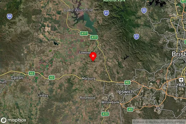
about 127.84 meters height above sea level (Altitude)Glamorgan Vale Suburb Map (Satellite)
Distances
The distance from Glamorgan Vale, Ipswich, QLD to AU Greater Capital CitiesSA1 Code 2011
31002128104SA1 Code 2016
31002128104SA2 Code
310021281SA3 Code
31002SA4 Code
310RA 2011
2RA 2016
2MMM 2015
2MMM 2019
2Charge Zone
Q2LGA Region
IpswichLGA Code
33960Electorate
Wright