ZipCode 6442 Areas, NZ PostCode 6442 Suburbs
Postcode 6442 Suburbs, ZipCode 6442 Areas & Regions in Wellington City,Wellington City New Zealand
There are at least 5 NZ suburbs share the same NZ PostCode 6442 in Wellington, Whanganui.
Postal Code 6442 Regions
The New Zealand postcode 6442 regions include Wellington City, South Taranaki District, Whanganui District in the areas of Wellington, Whanganui, Wellington City, These postcode areas are all located in the state Wellington, Wellington City.
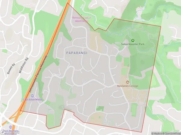
ZipCode 6442 Map for Paparangi
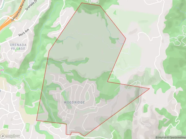
ZipCode 6442 Map for Woodridge
ZipCode 6442 Map for Paparangi
ZipCode 6442 Areas
AU PostCode 6442 suburbs contain Paparangi, Woodridge, Grenada Village, Newlands, you can check the below link to see the 4 suburbs detailed information.
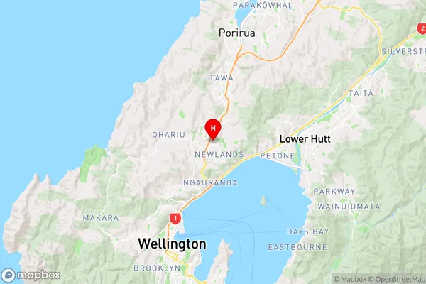
NZ PostCode 6442 Map
NZ PostCode 6442 Suburbs
1. Paparangi
2. Woodridge
4. Grenada Village
5. Newlands